154 years in pictures
Census counts: 519 in 1880, 2,859 in 2020. The archive holds 18 old photos and papers going back to 1900 and 4 maps from 1889 on.
2 places on the National Register of Historic Places.
- 1872Atkins is settled
Each edition grades its towns against each other only.

Atkins gives you more for your money than most places: homes are within reach, about $172K for a typical one, or 3 years of the Russellville area’s $57K median household income. It grades C+ overall, 37th among Arkansas's 123 graded towns. The low prices come with trade-offs. Residents are less healthy than 78% of U.S. towns on CDC estimates. Atkins has 2 places on the National Register of Historic Places, among them Missouri-Pacific Depot-Atkins and Atkins Commercial Historic District. Most errands need a car: it is less walkable than 80% of U.S. towns. Atkins’ July high is 93°F, where Arkansas’ towns sit at 92°F and U.S. towns at 85°F.
Where Atkins beats most towns.
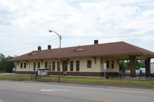
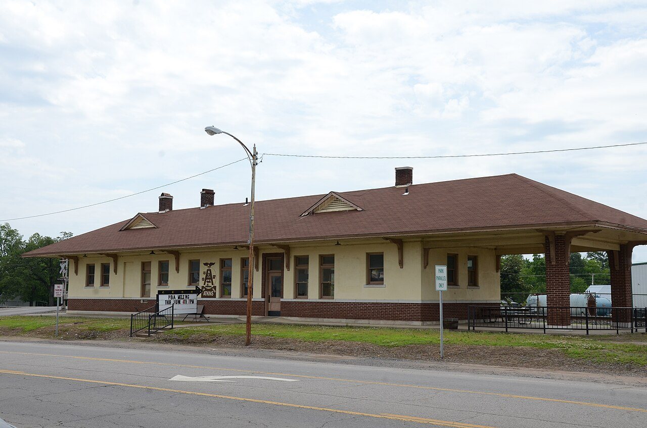
Missouri-Pacific Depot-AtkinsEach subject compared with towns across the country (schools within Arkansas), ordered by how far Atkins is from typical.
How TownRatings grades towns →
Census counts: 519 in 1880, 2,859 in 2020. The archive holds 18 old photos and papers going back to 1900 and 4 maps from 1889 on.
2 places on the National Register of Historic Places.
Who provides power, water and the rest in Atkins, and how to reach them.
EPA SDWIS (Oct 9, 2026) · HIFLD + EIA-861 2025 · Census 2020 ZCTAs · NCES 2024–25 · registration: vote.gov, updated Nov 18, 2024.
Ordered by what stands out in Atkins.
Atkins looks healthier within Arkansas than nationally, but it has little public open land.
Within Arkansas it is healthier than 57% of the 123 graded towns: much of Arkansas scores lower on these measures.
43% of Atkins adults have obesity. Atkins beats the Arkansas average on 4 of 32 CDC measures and trails it on 3. 23% of Atkins adults say their health is fair or poor.
| Atkins | Arkansas towns | U.S. towns | |
|---|---|---|---|
| Obesity (CDC PLACES) | 43% | 39% | 35% |
| Feel lonely (CDC PLACES) | 32% | 35% | 33% |
| Get no exercise (CDC PLACES) | 32% | 34% | 25% |
| Fair or poor health (CDC PLACES) | 23% | 25% | 19% |
| What stands out | Atkins | AR |
|---|---|---|
| Fewer adults facing a utility shut-off | 8% | 10.4% |
| Fewer adults facing housing insecurity | 11.2% | 14.4% |
| More adults who have had cancer | 9.9% | 8.2% |
CDC PLACES 2025 · modeled estimates for adults · CMS · HRSA
Its public schools are run by the Atkins School District. Two of its 3 schools are below, each with why it’s listed. The largest public high school is Atkins High School, with 317 students.
| School | Level | Students | Letter |
|---|---|---|---|
| Atkins Elementary SchoolLargest public elementary schoolGrades PK–4 | Grades PK–4 | 370 | B− |
| Atkins High SchoolLargest public high schoolGrades 9–12 | Grades 9–12 | 317 | C |
NCES · EDFacts · graded within AR on state tests and graduation
The typical Atkins home is worth about $172,000, up 2.1% in a year, 23% below the Arkansas typical home.
| Atkins | Arkansas towns | U.S. towns | |
|---|---|---|---|
| Households that own their home | 66% | 60% | 73% |
| Median rent | $889 a month | $875 a month | $1,185 a month |
Zillow Home Value Index · Redfin Data Center
Atkins’ violent crime rate is 3.5 per 1,000 residents. Within Arkansas, it does better than 68% of towns.
| Atkins | Arkansas towns | U.S. towns | |
|---|---|---|---|
| Violent crimes per 1,000 (2025) | 3.5 per 1,000 residents | 3.7 | 1.6 |
| Property crimes per 1,000 (2025) | 11.4 per 1,000 residents | 13.8 | 9.9 |
FBI crime data, 2025 · crimes reported to police
Atkins has mild winters and hot summers, with plenty of rain. July afternoons reach 93°, January nights drop to 30° and about 3 inches of snow falls in a winter.
NOAA U.S. Climate Normals, 1991–2020
Just 0 of its 3,916 acres are conserved, so there is little public open land in Atkins itself; its outdoors grade is D.
1.2 miles of trail in 1 park or preserve.
| Biggest places to walk | Trails | Acres |
|---|---|---|
| 1. McLaren Park | — | 8 |
Trails & parks © OpenStreetMap contributors · Conserved land: USGS PAD-US
Expected storm and flood damage is higher than in 66% of U.S. communities.
FEMA National Risk Index · OpenFEMA
Most working residents leave Atkins for work: only 11% work in town. 9.7% of residents live below the poverty line in Atkins. The top destinations are Russellville (32%), Little Rock (7%) and Conway (5%).
| Atkins | Arkansas towns | U.S. towns | |
|---|---|---|---|
| Working residents who work in town | 11% | 22% | 8% |
| Below the poverty line | 9.7% | 18% | 9.6% |
| Median household income | $62,000 | $55,000 | $80,000 |
| Average trip to work | 24 minutes | 21 minutes | 25 minutes |
Census LEHD 2023 · ACS
2 within 15 miles of the center of Atkins
About 3 of every 100 Atkins residents are enrolled in college, against 5 across Arkansas.
2 places in Atkins on the National Register of Historic Places.
6 notable people were born in Atkins.


City in Arkansas, United States
Atkins is a city in Pope County, Arkansas, United States. The population was 2,859 at the 2020 census. It is part of the Russellville Micropolitan Statistical Area.
From Wikipedia, licensed CC BY-SA 4.0 · facts via Wikidata (CC0)
Short answers, built from the data on this page.
Atkins grades C+ overall, better than 40% of U.S. towns and #37 of 123 in Arkansas. It grades C− for health, C for safety and B+ for schools. Walkability is its weak spot, with a C−.
Within Arkansas, it does better than 68% of towns.
Not for the area. Cost of living, which also weighs rents, property taxes and how many households pay 30% or more of their income for housing, grades A.
6 notable people were born here, including Norris Church Mailer and Fred Bennett.