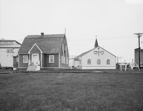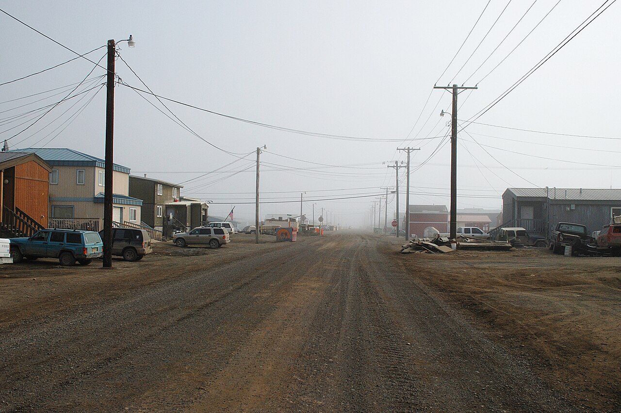
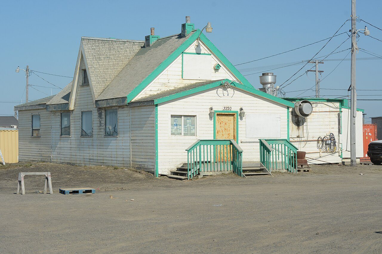
67 years in pictures
Census counts: 225 in 1880, 4,927 in 2020. The archive holds 6 old photos and papers going back to 1889 and 2 maps from 1955 on.
2 places on the National Register of Historic Places.
- 1959Utqiaġvik is settled
Each edition grades its towns against each other only.

A town of 4,640, settled in 1959.
Utqiaġvik's standout: natural-hazard risk is low. Overall it grades C, 30th among Alaska's 41 graded towns. Its weakest subject is schools: its public schools trail 75% of Alaska towns on state tests and graduation. Utqiaġvik’s average trip to work is 10 minutes, below both the Alaska town median (21 minutes) and the median of U.S. towns (25 minutes). Utqiaġvik is home to Ilisagvik College. Only 1 of the 41 Alaska towns we compare have a lower January low than Utqiaġvik.
Where Utqiaġvik beats most towns.
Each subject compared with towns across the country (schools within Alaska), ordered by how far Utqiaġvik is from typical.
How TownRatings grades towns →
Census counts: 225 in 1880, 4,927 in 2020. The archive holds 6 old photos and papers going back to 1889 and 2 maps from 1955 on.
2 places on the National Register of Historic Places.
Who provides power, water and the rest in Utqiaġvik, and how to reach them.
EPA SDWIS (Oct 9, 2026) · HIFLD + EIA-861 2025 · Census 2020 ZCTAs · NCES 2024–25 · registration: vote.gov, updated Sep 30, 2026.
Ordered by what stands out in Utqiaġvik.
Utqiaġvik carries less natural-hazard risk than nearly all of Alaska (mostly cold waves) and has a shorter frost-free season than nearly all U.S. towns, but it trails even towns with similar incomes on health.
FEMA rates its natural-hazard risk lower than 95% of Alaska towns, with expected losses of about $311 per resident a year; that rating is what its A+ for hazard risk is built on.
Utqiaġvik’s FEMA risk score is 0 of 100.
FEMA National Risk Index · OpenFEMA
Its public schools are run by the North Slope Borough School District. Two of its 4 schools are below, each with why it’s listed.
| School | Level | Students | Letter |
|---|---|---|---|
| Fred Ipalook ElementaryLargest public elementary schoolGrades PK–5 | Grades PK–5 | 494 | C− |
| Barrow High SchoolLargest public high schoolGrades 9–12 | Grades 9–12 | 259 | C− |
NCES · EDFacts · graded within AK on state tests and graduation
4.8 miles of trail in 0 parks and preserves. Only 3 of the 41 Alaska towns we compare have a lower share of conserved land than Utqiaġvik.
| Utqiaġvik | Alaska towns | U.S. towns | |
|---|---|---|---|
| Conserved land | 0.7% | 15% | 4.3% |
| Miles of trail per square mile | 0.2 miles per square mile | 0.4 | 0.4 |
Trails & parks © OpenStreetMap contributors · Conserved land: USGS PAD-US
The Barrow Post Rogers Ap weather station records that the frost-free season runs about 26 days, shorter than in 100% of U.S. towns. January nights average -17.8°, colder than in 100% of U.S. towns; July afternoons average 47.7°. The Barrow Post Rogers Ap weather station records that 46 inches of snow fall in a normal winter: more than most of the country, but less than 86% of Alaska places with climate records.
The July high in Utqiaġvik is 48°F. Utqiaġvik has cold, snowy winters and cool summers, with very little rain.
NOAA U.S. Climate Normals, 1991–2020
Against the 6,405 U.S. towns with household incomes like Utqiaġvik’s, it is less healthy than 93%, so it trails even them.
41% of adults have obesity in Utqiaġvik. Only 4 of the 41 Alaska towns we compare have a lower share of adults who have been diagnosed with depression than Utqiaġvik. 11% of adults have diabetes in Utqiaġvik.
| Utqiaġvik | Alaska towns | U.S. towns | |
|---|---|---|---|
| Yearly checkup (CDC PLACES) | 65% | 68% | 79% |
| Smoke cigarettes (CDC PLACES) | 20% | 15% | 14% |
| Food insecurity (CDC PLACES) | 22% | 12% | 14% |
| Feel lonely (CDC PLACES) | 36% | 32% | 33% |
| What stands out | Utqiaġvik | AK |
|---|---|---|
| Fewer adults who have had cancer | 4.7% | 7% |
| Fewer adults with arthritis | 19.1% | 23.3% |
| More adults facing food insecurity | 21.6% | 14.3% |
CDC PLACES 2025 · modeled estimates for adults · CMS · HRSA
1 within 15 miles of the center of Utqiaġvik
About 6 of every 100 Utqiaġvik residents are enrolled in college, about the same as Alaska.
2 places in Utqiaġvik on the National Register of Historic Places.
City in Alaska, United States
Utqiaġvik, formerly known as Barrow, is the borough seat and largest city of the North Slope Borough in the U.S. state of Alaska. Located north of the Arctic Circle, it is one of the northernmost cities and towns in the world and the northernmost in the United States, with nearby Point Barrow as the country's northernmost point. Utqiaġvik's population was 4,927 at the 2020 census, an increase from 4,212 in 2010. It is the 12th-most populated city in Alaska.
From Wikipedia, licensed CC BY-SA 4.0 · facts via Wikidata (CC0)
Short answers, built from the data on this page.
Utqiaġvik grades C overall, better than 31% of U.S. towns and #30 of 41 in Alaska. It grades C+ for health and C for schools. Schools is its weak spot, with a C.
Cost of living, which also weighs rents, property taxes and how many households pay 30% or more of their income for housing, grades B.