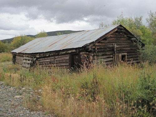
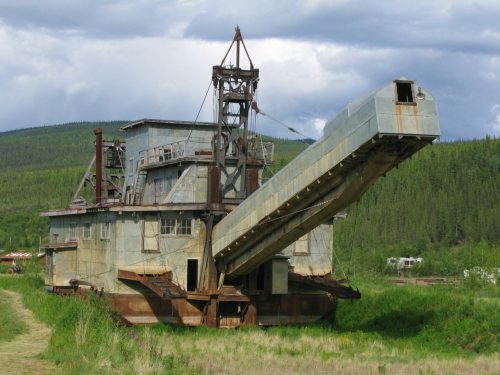
Chicken Historic District · National Register of Historic Places
Chicken’s story
123 years in pictures
2 places on the National Register of Historic Places.
- 1903Chicken is settled
Each edition grades its towns against each other only.

A town, settled in 1903.
91% of the land in Chicken is conserved, against 15% in Alaska’s towns and 4.3% across U.S. towns. Fortymile Wild and Scenic River, at 14,619 acres with 5.4 miles of trail, is the biggest park or preserve. We don’t grade Chicken yet; the figures below are still real.
2 places on the National Register of Historic Places.
Chicken is unincorporated, so Southeast Fairbanks Census Area and regional agencies provide most services.
EPA SDWIS (Oct 9, 2026) · HIFLD + EIA-861 2025 · Census 2020 ZCTAs · NCES 2024–25 · registration: vote.gov, updated Sep 30, 2026.
Ordered by what stands out in Chicken.
Trails total 29 miles in 2 parks and preserves. Chicken’s concentration of trails is 0.3 miles per square mile.
| Biggest places to walk | Trails | Acres |
|---|---|---|
| 1. Fortymile Wild and Scenic River | 5.4 mi | 14,619 |
| 2. Historic Dredge Camp | — | 5 |
Trails & parks © OpenStreetMap contributors · Conserved land: USGS PAD-US
40% of Chicken’s expected losses from natural hazards come from avalanches, followed by wildfires at 39%. Compared with 90% of U.S. communities, expected storm and flood damage locally is higher.
FEMA National Risk Index · OpenFEMA
In Chicken, the July high is 70°F, above the Alaska town median (66°F) but below the median of U.S. towns (85°F).
NOAA U.S. Climate Normals, 1991–2020
None within 15 miles of Chicken; the nearest are
2 places in Chicken on the National Register of Historic Places.
Census-designated place in Alaska, US
Chicken is a census-designated place in Southeast Fairbanks Census Area, Alaska. It is a community founded on gold mining, and is one of the few surviving gold rush towns in Alaska. The population was 12 at the time of the 2020 census, up from 7 in 2010. Due to mining, Chicken's population peaks during the summer.
From Wikipedia, licensed CC BY-SA 4.0 · facts via Wikidata (CC0)
Short answers, built from the data on this page.
We don’t grade Chicken yet; the figures below are still real.