The Brixton Windmill
Look for The Brixton Windmill, an attraction, in Lambeth. 60 more places to visit are within 5 km. First among the places near it is British Museum, at 7.4 km.
Attraction in Lambeth
Inside Lambeth
The Brixton Windmill is inside Lambeth’s built-up area, with 60 more places to visit within 5 km. Towns near it ↓
Written from OpenStreetMap, Wikidata, the ONS built-up areas and Met Office 1991–2020 averages.
Picking your season
The warmest afternoons in Lambeth run May to September, at 18–24°C.
The Brixton Windmill
Attraction.
In Lambeth, inside the town’s built-up area.
- Type
- Attraction
- Town
- in Lambeth
- Official site
- brixtonwindmill.org/visit
Hours, entry and address
- EntryA fee is charged
The map
The map centres on The Brixton Windmill, in orange, with nearby places numbered.
© OpenStreetMap contributors · The dashed line is Lambeth’s built-up area. · ONS built-up area 2022
Which towns are near The Brixton Windmill
Croydon tops the 8 for size, at 389,242 people. Each town here links to its own guide.
Lambeth
Wandsworth
Southwark
Croydon
Compare the 8 towns
| Town | Where The Brixton Windmill is | People | Places to visit |
|---|---|---|---|
| Lambeth | It’s in town | 317,108 | 450 |
| Wandsworth | 1.3 km west of it | 326,725 | 442 |
| Southwark | 1.5 km northeast of it | 307,076 | 471 |
| Croydon | 3.4 km south of it | 389,242 | 49 |
| Westminster | 3.6 km northwest of it | 203,571 | 461 |
| Kensington and Chelsea | 4.1 km northwest of it | 143,348 | 399 |
| Merton | 4.1 km southwest of it | 214,931 | 58 |
| Lewisham | 4.2 km east of it | 300,764 | 218 |
Pair The Brixton Windmill with these
Around it, within 15 km, lie 607 more, including 2 museums, 2 attractions and a cathedral.
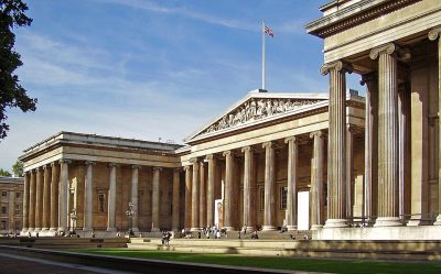 Big drawMuseumBritish Museum7.4 km away · 5.8M visitors a year (2023)2
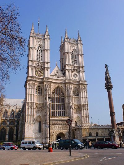 Cathedral · English HeritageWestminster Abbey5.1 km away3
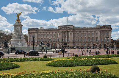 Historic houseBuckingham Palace5.5 km away4
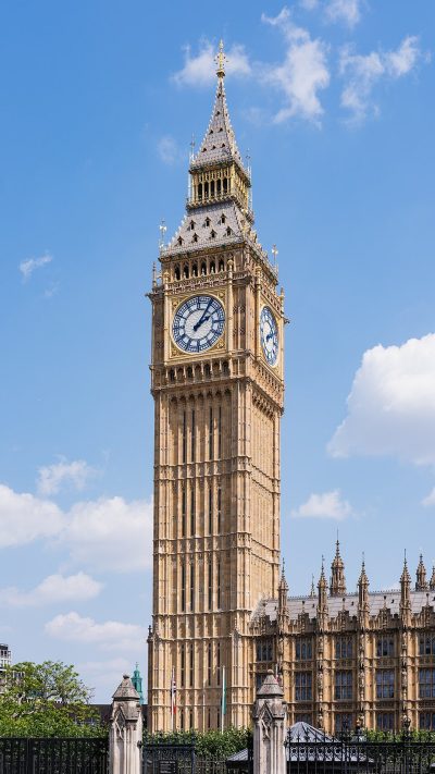 AttractionElizabeth Tower5.3 km away5
 Big drawCastleTower of London6.9 km away · 2.7M visitors a year (2016)6
 AttractionLondon Eye5.6 km away7
 Big drawArt galleryNational Gallery6.2 km away · 709K visitors a year (2021)8
 Big drawMuseumVictoria and Albert Museum5.9 km away · 858K visitors a year (2021)
Within 15 km, close and well known first. Numbers match the map.
The Brixton Windmill: what to know
Where is The Brixton Windmill?
The Brixton Windmill is in Lambeth, London, inside the town’s built-up area.
What is The Brixton Windmill?
Attraction.
When is the best time to visit The Brixton Windmill?
May to September are the warmest months in Lambeth, with afternoon highs of 18–24°C (Met Office 1991–2020 averages).
What else is there to see near The Brixton Windmill?
Within 15 km: British Museum (7.4 km), Westminster Abbey (5.1 km), Buckingham Palace (5.5 km) and Elizabeth Tower (5.3 km).
Places: OpenStreetMap (© OpenStreetMap contributors, Open Database Licence) and Wikidata (CC0), placed in the ONS 2022 built-up area (Open Government Licence v3.0). Visitor counts are the latest Wikidata gives, with their year.
Photos: each place’s Wikidata image, from Wikimedia Commons under the licence below (our copy, resized).
Photo credits (8)
- British Museum: Ham, CC BY-SA 3.0, Wikimedia Commons
- Westminster Abbey: Σπάρτακος, CC BY-SA 3.0, Wikimedia Commons
- Buckingham Palace: Diliff, CC BY-SA 3.0, Wikimedia Commons
- Elizabeth Tower: Christian David, CC BY-SA 4.0, Wikimedia Commons
- Tower of London: Bob Collowan, CC BY-SA 3.0, Wikimedia Commons
- London Eye: Christian David, CC BY-SA 4.0, Wikimedia Commons
- National Gallery: Diego Delso, CC BY-SA 4.0, Wikimedia Commons
- Victoria and Albert Museum: Diliff, CC BY-SA 3.0, Wikimedia Commons
Contains public sector information licensed under the Open Government Licence v3.0. Contains HM Land Registry data © Crown copyright and database right 2026. Contains OS data © Crown copyright and database right 2026 (ONS boundaries). Northern Ireland: Source: NISRA; contains Land & Property Services data and Ordnance Survey of Northern Ireland information, © Crown copyright, licensed under the Open Government Licence v3.0. Scotland: contains National Records of Scotland data, Registers of Scotland data and SEPA data, © Crown copyright / © SEPA 2025, licensed under the Open Government Licence v3.0.