Stop 5 - Brentford Gate
On the map, Stop 5 - Brentford Gate is an attraction 200 m east of Hounslow. A short trip away is Kew Gardens, 400 m off, the first of 497 within 15 km.
Attraction near Hounslow
Just outside Hounslow
Stop 5 - Brentford Gate is 200 m east of Hounslow. Towns near it ↓
Written from OpenStreetMap, Wikidata, the ONS built-up areas and Met Office 1991–2020 averages.
Month by month
Afternoons in Hounslow peak at 18–24°C, May to September.
Stop 5 - Brentford Gate
Attraction.
- Type
- Attraction
- Town
- 200 m east of Hounslow
- Official site
- kew.org/kew-gardens/whats-on/kew-explorer-land-train
Entry, hours, address
- EntryA fee is charged
Finding Stop 5 - Brentford Gate
The places near Stop 5 - Brentford Gate are numbered on the map in the order below.
© OpenStreetMap contributors · ONS built-up area 2022
Which towns are near Stop 5 - Brentford Gate
The largest of the 5 towns is Ealing, with 367,271 people. Nearest first, every town here counts it among its places to visit.
Hounslow
Richmond upon Thames
Ealing
Wandsworth
Compare the 5 towns
| Town | Where Stop 5 - Brentford Gate is | People | Places to visit |
|---|---|---|---|
| Hounslow | 200 m west of it | 286,591 | 106 |
| Richmond upon Thames | 400 m southwest of it | 192,888 | 128 |
| Ealing | 1.5 km northwest of it | 367,271 | 101 |
| Wandsworth | 3.5 km east of it | 326,725 | 442 |
| Hammersmith and Fulham | 3.7 km east of it | 182,187 | 266 |
Pair Stop 5 - Brentford Gate with these
Within 15 km you can add 3 historic houses, 2 museums and a garden.
 GardenKew Gardens400 m away2
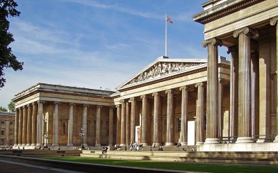 Big drawMuseumBritish Museum13 km away · 5.8M visitors a year (2023)3
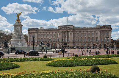 Historic houseBuckingham Palace11 km away4
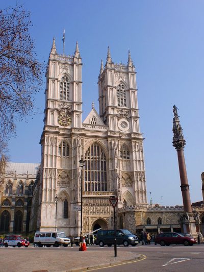 Cathedral · English HeritageWestminster Abbey12 km away5
 Big drawMuseumVictoria and Albert Museum8.8 km away · 858K visitors a year (2021)6
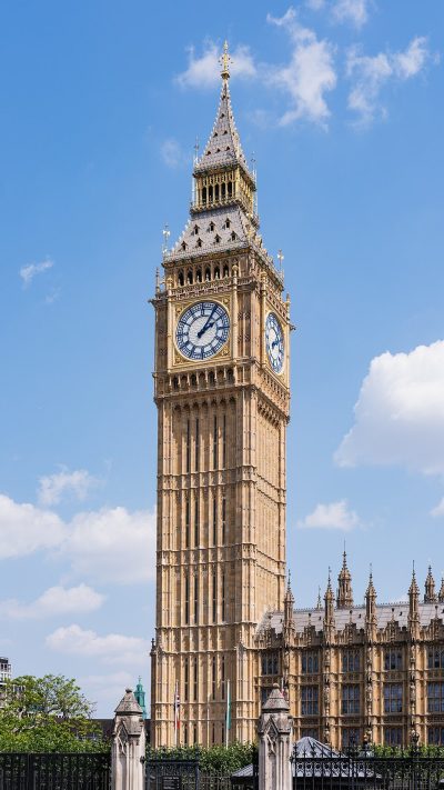 AttractionElizabeth Tower12 km away7
 Historic houseKew Palace300 m away8
 Historic houseKensington Palace8 km away · 383K visitors a year (2015)
Within 15 km, close and well known first. Numbers match the map.
A visit to Stop 5 - Brentford Gate: questions
Where is Stop 5 - Brentford Gate?
Stop 5 - Brentford Gate is 200 m east of Hounslow, London.
What is Stop 5 - Brentford Gate?
Attraction.
When is the best time to visit Stop 5 - Brentford Gate?
May to September are the warmest months in Hounslow, with afternoon highs of 18–24°C (Met Office 1991–2020 averages).
What else is there to see near Stop 5 - Brentford Gate?
Within 15 km: Kew Gardens (400 m), British Museum (13 km), Buckingham Palace (11 km) and Westminster Abbey (12 km).
Places: OpenStreetMap (© OpenStreetMap contributors, Open Database Licence) and Wikidata (CC0), placed in the ONS 2022 built-up area (Open Government Licence v3.0). Visitor counts are the latest Wikidata gives, with their year.
Photos: each place’s Wikidata image, from Wikimedia Commons under the licence below (our copy, resized).
Photo credits (8)
- Kew Gardens: Diliff, CC BY-SA 3.0, Wikimedia Commons
- British Museum: Ham, CC BY-SA 3.0, Wikimedia Commons
- Buckingham Palace: Diliff, CC BY-SA 3.0, Wikimedia Commons
- Westminster Abbey: Σπάρτακος, CC BY-SA 3.0, Wikimedia Commons
- Victoria and Albert Museum: Diliff, CC BY-SA 3.0, Wikimedia Commons
- Elizabeth Tower: Christian David, CC BY-SA 4.0, Wikimedia Commons
- Kew Palace: xlibber, CC BY 2.0, Wikimedia Commons
- Kensington Palace: Steve Cadman from London, U.K., CC BY-SA 2.0, Wikimedia Commons
Contains public sector information licensed under the Open Government Licence v3.0. Contains HM Land Registry data © Crown copyright and database right 2026. Contains OS data © Crown copyright and database right 2026 (ONS boundaries). Northern Ireland: Source: NISRA; contains Land & Property Services data and Ordnance Survey of Northern Ireland information, © Crown copyright, licensed under the Open Government Licence v3.0. Scotland: contains National Records of Scotland data, Registers of Scotland data and SEPA data, © Crown copyright / © SEPA 2025, licensed under the Open Government Licence v3.0.