
Southwark Cathedral
Southwark Cathedral is a mother church of the Anglican Diocese of Southwark. Its status is a Grade I listed building. There are 599 more places to see within 15 km, beginning with Tower of London (900 m).
Cathedral in Southwark
One of the best-known places to visit in England, Scotland, Wales and Northern Ireland
#94 of the 8,556 museums, castles, gardens and other attractions we list, by how widely it is covered (30 Wikipedias). About ↓
Inside Southwark
Southwark Cathedral is inside Southwark’s built-up area, with 352 more places to visit within 5 km. Towns near it ↓
Grade I listed building
On the official list of protected heritage; Southwark has 910 listed buildings in all, on its History page. About ↓
Written from OpenStreetMap, Wikidata, the ONS built-up areas and Met Office 1991–2020 averages.
Which month to go
Expect highs of 18–24°C in Southwark from May to September.
Southwark Cathedral
It has articles in 30 Wikipedias.
- Type
- Cathedral
- Listed
- Grade I listed building
- Wikipedias
- Covered in 30 languages
- Town
- in Southwark
- Official site
- cathedral.southwark.anglican.org
Southwark Cathedral on the map
The numbers show what else is near Southwark Cathedral, in the order listed below.
© OpenStreetMap contributors · The dashed line is Southwark’s built-up area. · ONS built-up area 2022
Towns that count Southwark Cathedral
The largest of the 8 towns is Lambeth, with 317,108 people. Its home town tops the list; the rest follow by distance.
Southwark
City of London
Tower Hamlets
Lambeth
Compare the 8 towns
| Town | Where Southwark Cathedral is | People | Places to visit |
|---|---|---|---|
| Southwark | It’s in town | 307,076 | 471 |
| City of London | 300 m north of it | 7,820 | 432 |
| Tower Hamlets | 700 m east of it | 311,072 | 430 |
| Lambeth | 1.2 km south of it | 317,108 | 450 |
| Islington | 1.5 km north of it | 216,309 | 425 |
| Westminster | 1.6 km west of it | 203,571 | 461 |
| Hackney | 1.6 km north of it | 258,464 | 407 |
| Camden | 1.6 km northwest of it | 209,342 | 458 |
Pair Southwark Cathedral with these
Choose from 599 places within 15 km, such as 2 cathedrals, 2 attractions and a castle.
 Big drawCastleTower of London900 m away · 2.7M visitors a year (2016)2
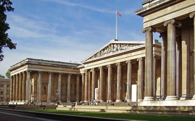 Big drawMuseumBritish Museum3 km away · 5.8M visitors a year (2023)3
 Big drawArt galleryTate Modern700 m away · 1.2M visitors a year (2021)4
 CathedralSt Paul's Cathedral1 km away5
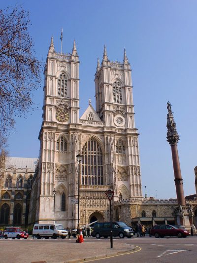 Cathedral · English HeritageWestminster Abbey2.7 km away6
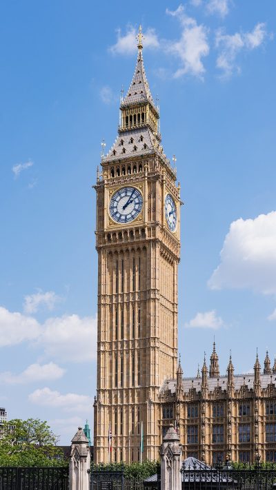 AttractionElizabeth Tower2.5 km away7
 AttractionLondon Eye2.1 km away8
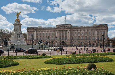 Historic houseBuckingham Palace3.7 km away
Within 15 km, close and well known first. Numbers match the map.
Asked about Southwark Cathedral
Where is Southwark Cathedral?
Southwark Cathedral is in Southwark, London, inside the town’s built-up area.
What is Southwark Cathedral?
Mother church of the Anglican Diocese of Southwark.
When is the best time to visit Southwark Cathedral?
May to September are the warmest months in Southwark, with afternoon highs of 18–24°C (Met Office 1991–2020 averages).
Is Southwark Cathedral a listed building?
Yes: Grade I listed building.
What else is there to see near Southwark Cathedral?
Within 15 km: Tower of London (900 m), British Museum (3 km), Tate Modern (700 m) and St Paul's Cathedral (1 km).
Places: OpenStreetMap (© OpenStreetMap contributors, Open Database Licence) and Wikidata (CC0), placed in the ONS 2022 built-up area (Open Government Licence v3.0). Visitor counts are the latest Wikidata gives, with their year.
Photos: each place’s Wikidata image, from Wikimedia Commons under the licence below (our copy, resized).
Photo credits (9)
- Southwark Cathedral: Ethan Doyle White, CC BY-SA 4.0, Wikimedia Commons
- Tower of London: Bob Collowan, CC BY-SA 3.0, Wikimedia Commons
- British Museum: Ham, CC BY-SA 3.0, Wikimedia Commons
- Tate Modern: Christine Matthews, CC BY-SA 2.0, Wikimedia Commons
- St Paul's Cathedral: Mark Fosh, CC BY 2.0, Wikimedia Commons
- Westminster Abbey: Σπάρτακος, CC BY-SA 3.0, Wikimedia Commons
- Elizabeth Tower: Christian David, CC BY-SA 4.0, Wikimedia Commons
- London Eye: Christian David, CC BY-SA 4.0, Wikimedia Commons
- Buckingham Palace: Diliff, CC BY-SA 3.0, Wikimedia Commons
Contains public sector information licensed under the Open Government Licence v3.0. Contains HM Land Registry data © Crown copyright and database right 2026. Contains OS data © Crown copyright and database right 2026 (ONS boundaries). Northern Ireland: Source: NISRA; contains Land & Property Services data and Ordnance Survey of Northern Ireland information, © Crown copyright, licensed under the Open Government Licence v3.0. Scotland: contains National Records of Scotland data, Registers of Scotland data and SEPA data, © Crown copyright / © SEPA 2025, licensed under the Open Government Licence v3.0.