
Sambourne House
Sambourne House is a museum; 18 Stafford Terrace, London; home of Edward Linley Sambourne. It is within Kensington and Chelsea’s built-up area. On the official register, it is a Grade II* listed building.
Museum in Kensington and Chelsea
Inside Kensington and Chelsea
Sambourne House is inside Kensington and Chelsea’s built-up area, with 212 more places to visit within 5 km. Towns near it ↓
Grade II* listed building
On the official list of protected heritage; Kensington and Chelsea has 1,148 listed buildings in all, on its History page. About ↓
Written from OpenStreetMap, Wikidata, the ONS built-up areas and Met Office 1991–2020 averages.
Warm months and wet ones
From May to September, Kensington and Chelsea sees highs of 19–24°C.
Sambourne House
2 Wikipedia editions have an article on it. Look also at Kensington Palace, 800 m away, first of 596 more within 15 km.
- Type
- Museum
- Listed
- Grade II* listed building
- Wikipedias
- Covered in 2 languages
- Town
- in Kensington and Chelsea
- Official site
- rbkc.gov.uk/subsites/museums/18staffordterrace1.aspx
Sambourne House at a glance
Numbered points are the places near Sambourne House, which is in orange.
© OpenStreetMap contributors · The dashed line is Kensington and Chelsea’s built-up area. · ONS built-up area 2022
Staying near Sambourne House
Of these 8 towns, the largest is Ealing (367,271 people). Each town here links to its own guide.
- 1Kensington and Chelsea
- 2Hammersmith and Fulham
- 3Westminster
- 4Richmond upon Thames
- 5Wandsworth
- 6Brent
- 7Hounslow
- 8Ealing
Kensington and Chelsea
Hammersmith and Fulham
Westminster
Richmond upon Thames
Compare the 8 towns
| Town | Where Sambourne House is | People | Places to visit |
|---|---|---|---|
| Kensington and Chelsea | It’s in town | 143,348 | 399 |
| Hammersmith and Fulham | 800 m southwest of it | 182,187 | 266 |
| Westminster | 1 km northeast of it | 203,571 | 461 |
| Richmond upon Thames | 2.7 km southwest of it | 192,888 | 128 |
| Wandsworth | 2.8 km south of it | 326,725 | 442 |
| Brent | 3 km northwest of it | 340,611 | 245 |
| Hounslow | 3.3 km west of it | 286,591 | 106 |
| Ealing | 3.4 km west of it | 367,271 | 101 |
Places to add to Sambourne House
Within 15 km are 596 places, among them 4 museums, 2 historic houses and a cathedral.
 Historic houseKensington Palace800 m away · 383K visitors a year (2015)2
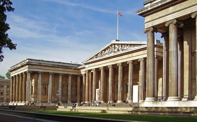 Big drawMuseumBritish Museum5.3 km away · 5.8M visitors a year (2023)3
 Big drawMuseumVictoria and Albert Museum1.7 km away · 858K visitors a year (2021)4
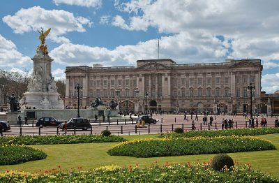 Historic houseBuckingham Palace3.8 km away5
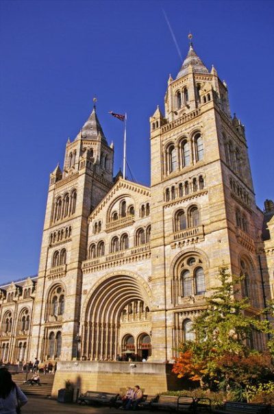 Big drawMuseumNatural History Museum1.5 km away · 1.6M visitors a year (2021)6
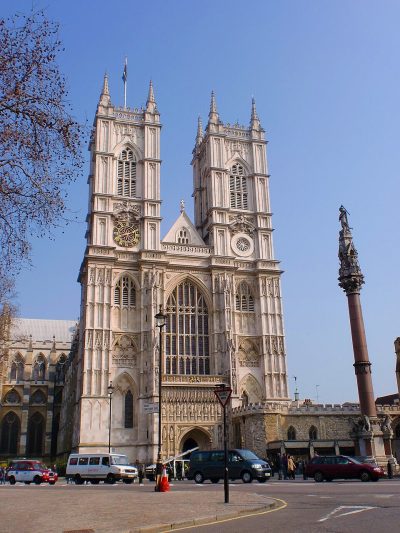 Cathedral · English HeritageWestminster Abbey4.8 km away7
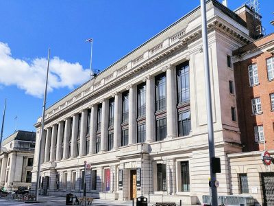 Big drawMuseumScience Museum1.5 km away · 3M visitors a year (2012)8
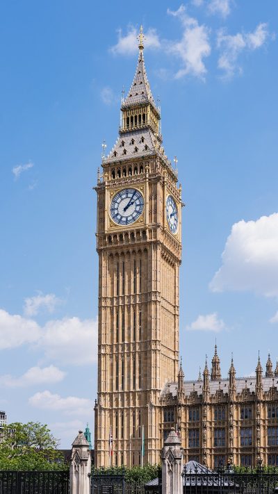 AttractionElizabeth Tower5 km away
Within 15 km, close and well known first. Numbers match the map.
Sambourne House: what to know
Where is Sambourne House?
Sambourne House is in Kensington and Chelsea, London, inside the town’s built-up area.
What is Sambourne House?
Museum; 18 Stafford Terrace, London; home of Edward Linley Sambourne.
When is the best time to visit Sambourne House?
May to September are the warmest months in Kensington and Chelsea, with afternoon highs of 19–24°C (Met Office 1991–2020 averages).
Is Sambourne House a listed building?
Yes: Grade II* listed building.
What else is there to see near Sambourne House?
Within 15 km: Kensington Palace (800 m), British Museum (5.3 km), Victoria and Albert Museum (1.7 km) and Buckingham Palace (3.8 km).
Places: OpenStreetMap (© OpenStreetMap contributors, Open Database Licence) and Wikidata (CC0), placed in the ONS 2022 built-up area (Open Government Licence v3.0). Visitor counts are the latest Wikidata gives, with their year.
Photos: each place’s Wikidata image, from Wikimedia Commons under the licence below (our copy, resized).
Photo credits (9)
- Sambourne House: Jhsteel, CC BY-SA 3.0, Wikimedia Commons
- Kensington Palace: Steve Cadman from London, U.K., CC BY-SA 2.0, Wikimedia Commons
- British Museum: Ham, CC BY-SA 3.0, Wikimedia Commons
- Victoria and Albert Museum: Diliff, CC BY-SA 3.0, Wikimedia Commons
- Buckingham Palace: Diliff, CC BY-SA 3.0, Wikimedia Commons
- Natural History Museum: Christine Matthews, CC BY-SA 2.0, Wikimedia Commons
- Westminster Abbey: Σπάρτακος, CC BY-SA 3.0, Wikimedia Commons
- Science Museum: Shadowssettle, CC BY-SA 4.0, Wikimedia Commons
- Elizabeth Tower: Christian David, CC BY-SA 4.0, Wikimedia Commons
Contains public sector information licensed under the Open Government Licence v3.0. Contains HM Land Registry data © Crown copyright and database right 2026. Contains OS data © Crown copyright and database right 2026 (ONS boundaries). Northern Ireland: Source: NISRA; contains Land & Property Services data and Ordnance Survey of Northern Ireland information, © Crown copyright, licensed under the Open Government Licence v3.0. Scotland: contains National Records of Scotland data, Registers of Scotland data and SEPA data, © Crown copyright / © SEPA 2025, licensed under the Open Government Licence v3.0.