Battersea Park Children's Zoo
Battersea Park Children's Zoo is a British Zoo. Visitors find it 400 m southeast of Kensington and Chelsea. Within 15 km there are 613 more places to visit, starting with Buckingham Palace (2.4 km).
Zoo near Kensington and Chelsea
Just outside Kensington and Chelsea
Battersea Park Children's Zoo is 400 m southeast of Kensington and Chelsea. Towns near it ↓
Written from OpenStreetMap, Wikidata, the ONS built-up areas and Met Office 1991–2020 averages.
Picking your season
Warmest in Kensington and Chelsea are May to September, at 19–24°C.
Battersea Park Children's Zoo
- Type
- Zoo
- Town
- 400 m southeast of Kensington and Chelsea
- Official site
- batterseaparkzoo.co.uk
Battersea Park Children's Zoo at a glance
Battersea Park Children's Zoo sits at the orange dot; the numbered ones are listed below.
© OpenStreetMap contributors · ONS built-up area 2022
Staying near Battersea Park Children's Zoo
Of these 8 towns, the largest is Wandsworth (326,725 people). Its home town tops the list; the rest follow by distance.
- 1Kensington and Chelsea
- 2Wandsworth
- 3Westminster
- 4Lambeth
- 5Hammersmith and Fulham
- 6Southwark
- 7Camden
- 8City of London
Kensington and Chelsea
Wandsworth
Westminster
Lambeth
Compare the 8 towns
| Town | Where Battersea Park Children's Zoo is | People | Places to visit |
|---|---|---|---|
| Kensington and Chelsea | 400 m northwest of it | 143,348 | 399 |
| Wandsworth | 400 m southwest of it | 326,725 | 442 |
| Westminster | 600 m north of it | 203,571 | 461 |
| Lambeth | 1.5 km southeast of it | 317,108 | 450 |
| Hammersmith and Fulham | 1.6 km west of it | 182,187 | 266 |
| Southwark | 3.3 km east of it | 307,076 | 471 |
| Camden | 4 km north of it | 209,342 | 458 |
| City of London | 4.5 km northeast of it | 7,820 | 432 |
Nearby, too
613 more lie within 15 km, 3 museums, 2 attractions and a historic house among them.
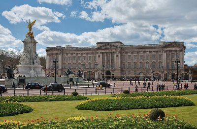 Historic houseBuckingham Palace2.4 km away2
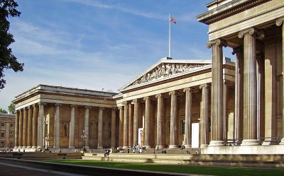 Big drawMuseumBritish Museum4.7 km away · 5.8M visitors a year (2023)3
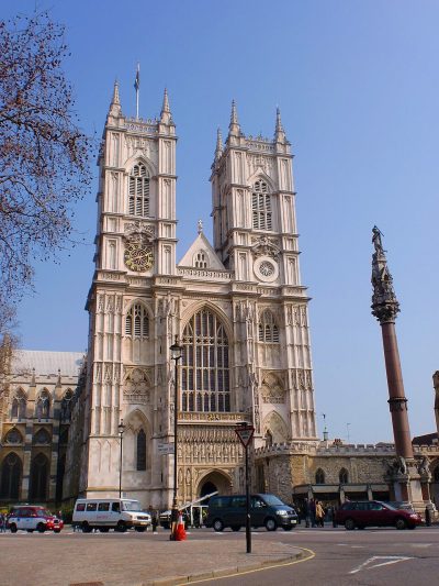 Cathedral · English HeritageWestminster Abbey2.8 km away4
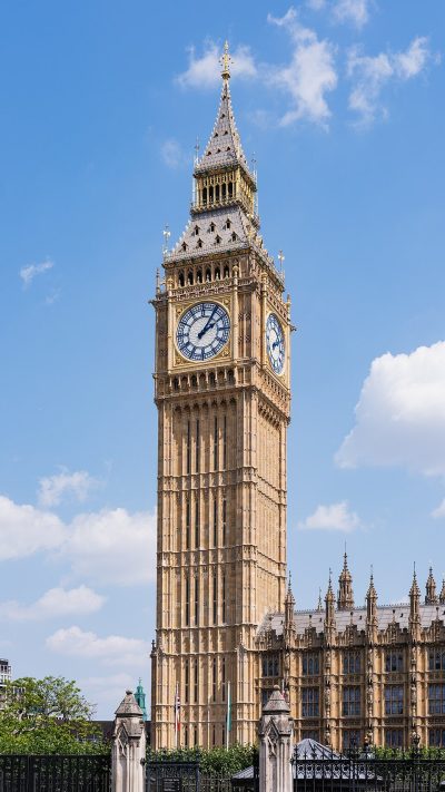 AttractionElizabeth Tower3.1 km away5
 Big drawMuseumVictoria and Albert Museum2.1 km away · 858K visitors a year (2021)6
 Big drawArt galleryNational Gallery3.6 km away · 709K visitors a year (2021)7
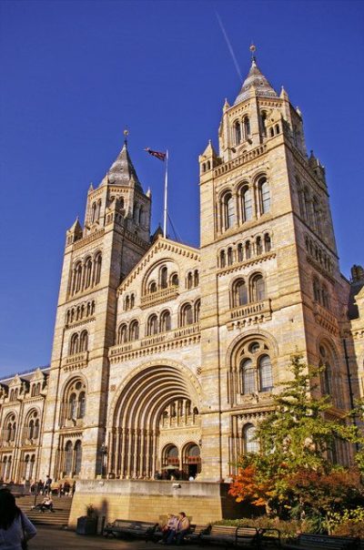 Big drawMuseumNatural History Museum2.2 km away · 1.6M visitors a year (2021)8
 AttractionLondon Eye3.5 km away
Within 15 km, close and well known first. Numbers match the map.
Questions about Battersea Park Children's Zoo
Where is Battersea Park Children's Zoo?
Battersea Park Children's Zoo is 400 m southeast of Kensington and Chelsea, London.
What is Battersea Park Children's Zoo?
British Zoo.
When is the best time to visit Battersea Park Children's Zoo?
May to September are the warmest months in Kensington and Chelsea, with afternoon highs of 19–24°C (Met Office 1991–2020 averages).
What else is there to see near Battersea Park Children's Zoo?
Within 15 km: Buckingham Palace (2.4 km), British Museum (4.7 km), Westminster Abbey (2.8 km) and Elizabeth Tower (3.1 km).
Places: OpenStreetMap (© OpenStreetMap contributors, Open Database Licence) and Wikidata (CC0), placed in the ONS 2022 built-up area (Open Government Licence v3.0). Visitor counts are the latest Wikidata gives, with their year.
Photos: each place’s Wikidata image, from Wikimedia Commons under the licence below (our copy, resized).
Photo credits (8)
- Buckingham Palace: Diliff, CC BY-SA 3.0, Wikimedia Commons
- British Museum: Ham, CC BY-SA 3.0, Wikimedia Commons
- Westminster Abbey: Σπάρτακος, CC BY-SA 3.0, Wikimedia Commons
- Elizabeth Tower: Christian David, CC BY-SA 4.0, Wikimedia Commons
- Victoria and Albert Museum: Diliff, CC BY-SA 3.0, Wikimedia Commons
- National Gallery: Diego Delso, CC BY-SA 4.0, Wikimedia Commons
- Natural History Museum: Christine Matthews, CC BY-SA 2.0, Wikimedia Commons
- London Eye: Christian David, CC BY-SA 4.0, Wikimedia Commons
Contains public sector information licensed under the Open Government Licence v3.0. Contains HM Land Registry data © Crown copyright and database right 2026. Contains OS data © Crown copyright and database right 2026 (ONS boundaries). Northern Ireland: Source: NISRA; contains Land & Property Services data and Ordnance Survey of Northern Ireland information, © Crown copyright, licensed under the Open Government Licence v3.0. Scotland: contains National Records of Scotland data, Registers of Scotland data and SEPA data, © Crown copyright / © SEPA 2025, licensed under the Open Government Licence v3.0.