
Lead Historic District (Boundary Increase II) (Boundary Decrease)
About the district
Lead Historic District (Boundary Increase II) (Boundary Decrease), at Roughly bounded by the Open Pit, Glendale Dr., West McClellan St., and Homestake Mine complex, was added to the National Register of Historic Places on Sep 14, 2021. The Register lists it for its industry and architecture, at the local level. It describes its style as Greek Revival, as it does for 8 other South Dakota listings. The district takes in 405 historic buildings. The listing covers 600 acres.
What it isCity in Lawrence County, South Dakota, United States of America. From Wikidata (CC0). Read about it on Wikipedia ↗
PDFRead the original nominationThe form that put it on the Register, with its history, photos and a map · 118 MB · National Archives↗1876 to today
- 1876Built
- 2021Added to the National Register of Historic Places
- 2026On the Register for 5 years
Make it a walk: 2 landmarks in about 5 minutes
Roughly bounded by the Open Pit, Glendale Dr., West McClellan St., and Homestake Mine complex, Lead · about 0.1 miles on foot, as the crow flies


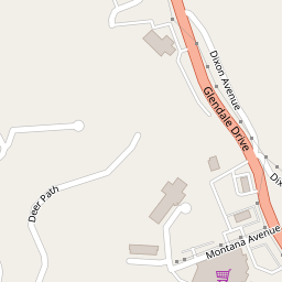
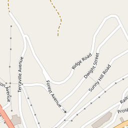
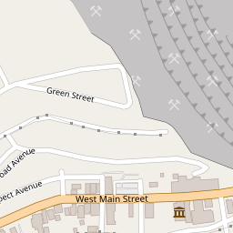
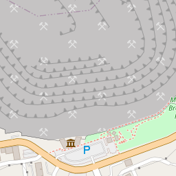
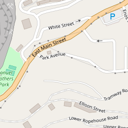
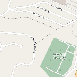
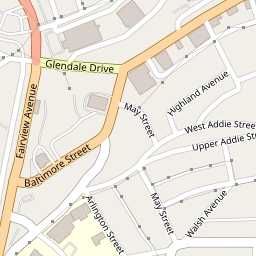
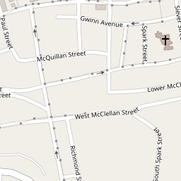
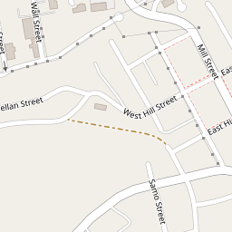
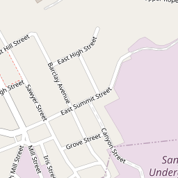
- 1Lead Historic District (Boundary Increase II) (Boundary Decrease)Start here
- 2
 Old Finnish Lutheran ChurchBuilding · 0.1 mi on
1 more Register listing within 2 miles
★ National Historic Landmark · D district · B building · S site. Each opens its own page.
Memories of Lead Historic District (Boundary Increase II) (Boundary Decrease)
The record says what it is. Neighbors know what it means.
Your answer becomes a post in Town Square.
Questions about Lead Historic District (Boundary Increase II) (Boundary Decrease)
Is Lead Historic District (Boundary Increase II) (Boundary Decrease) on the National Register of Historic Places?
Yes. It was added on Sep 14, 2021 (Register number 74001892).
Is Lead Historic District (Boundary Increase II) (Boundary Decrease) a National Historic Landmark?
No. It is on the National Register; South Dakota has 7 National Historic Landmarks. The nearest is Deadwood Historic District, 2.6 miles away.
Can you visit Lead Historic District (Boundary Increase II) (Boundary Decrease)?
It has its own website, the place to check whether and when it is open to visitors.
Where can I read the history of Lead Historic District (Boundary Increase II) (Boundary Decrease)?
In its National Register nomination, the form that put it on the Register: a 118 MB PDF at the National Archives, linked on this page.
Sources: National Park Service, National Register of Historic Places (05/22/2026) · National Archives catalog record 93205182 · Wikidata. Map tiles © OpenStreetMap contributors.