
Burlington Historic District
About the district
Burlington Historic District, at Roughly L-shaped, bounded by Delaware River and High, W. Broad, Albot, and Reed Sts., was added to the National Register of Historic Places on Mar 13, 1975. It was among the first 3 of Burlington’s 9 listings. The Register lists it for its education, politics, architecture and religion, at the local level. The district takes in 14 historic buildings. The listing covers 31 acres. Three more Register listings are within a quarter mile.
What it isListed on the National Register of Historic Places in Burlington County, New Jersey. From Wikidata (CC0). Read about it on Wikipedia ↗
Make it a walk: 5 landmarks in about 20 minutes
Roughly L-shaped, bounded by Delaware River and High, W. Broad, Albot, and Reed Sts., Burlington · about 0.8 miles on foot, as the crow flies
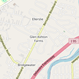
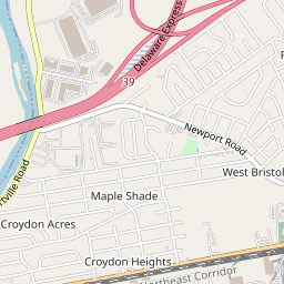
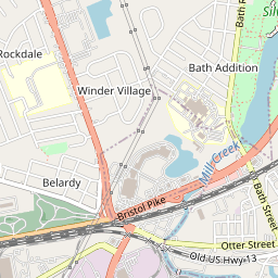
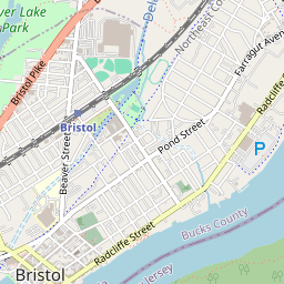
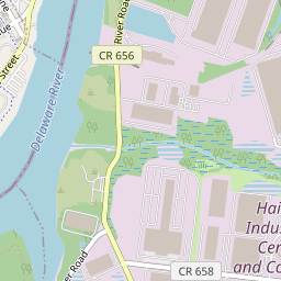
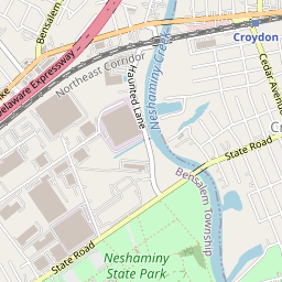
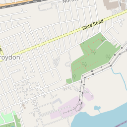
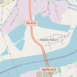
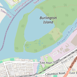
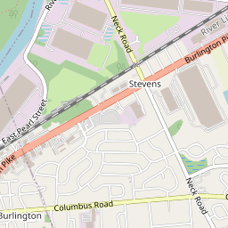


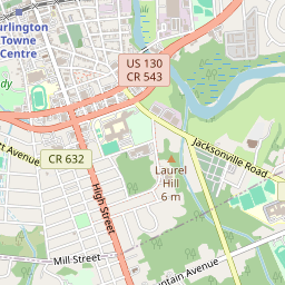


14 more Register listings within 2 miles
★ National Historic Landmark · D district · B building · S site. Each opens its own page.
Memories of Burlington Historic District
The record says what it is. Neighbors know what it means.
Your answer becomes a post in Town Square.
Questions about Burlington Historic District
Is Burlington Historic District on the National Register of Historic Places?
Yes. It was added on Mar 13, 1975 (Register number 75001124).
Is Burlington Historic District a National Historic Landmark?
No. It is on the National Register; New Jersey has 54 National Historic Landmarks. The nearest is New St. Mary's Episcopal Church, 0.1 miles away.
Can you visit Burlington Historic District?
Yes: it is open to visitors. Check opening times before you go.
Sources: National Park Service, National Register of Historic Places (05/22/2026) · Wikidata. Map tiles © OpenStreetMap contributors.