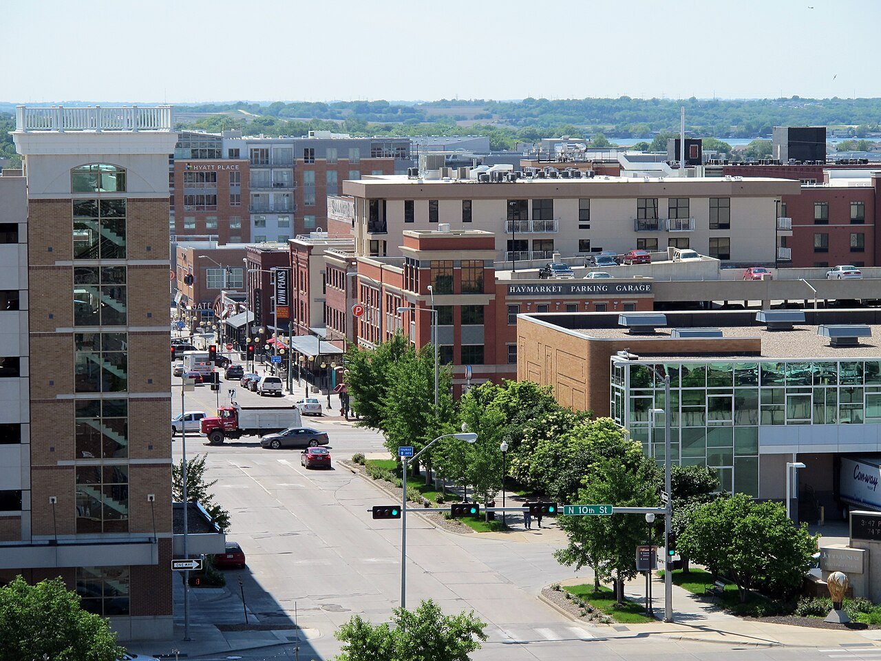
 Lincoln, the state capital · Photo: Hanyou23 · CC BY-SA 4.0
How Nebraska stacks up
Inland flooding accounts for 55% of the damage FEMA expects natural hazards to do to Nebraska’s buildings each year. Only two states put more of their people in the nation’s shortest-commute quarter of towns: 98% of Nebraska’s town residents live in one. Its overall score of 44 ranks 29th, a C+.
Each subject puts the official state figure beside a measure built from our town grades. How this works
Safety
20th of 51B62/100 Somewhat below-average crime. The FBI’s 2025 estimate puts violent crime at 223 per 100,000 residents, the 12th lowest rate of the 50 states and D.C. County or state police cover much of it, so town crime figures reach only 55% of residents. Lincoln and Scottsbluff weigh on the town measure; 49% of residents live in bottom-quarter places.
Add property crime, weighted as our town grades weigh it, and it ranks 18th lowest.
Source: FBI Crime Data Explorer, state estimate 2025.
Measure: reported crime per resident over the engine’s three crime years (property + 4 × violent), as in our Safety grades. 14 Nebraska towns of 10,000+ against 3,410 nationally. Covers 55% of residents of Nebraska’s 10,000+ towns.
Where most people live, crime runs higher
At the safe end sit Papillion (#683), Beatrice (#715) and Columbus (#951) in the national ranking of towns of 10,000+. Its towns tell a different story from the state total: 26th of 48 town by town, 12th lowest statewide.
| State | Safest quarter | Most-crime quarter | Split |
|---|---|---|---|
| New Hampshire | 42% | 0% | |
| Rhode Island | 37% | 0% | |
| New Jersey | 35% | 20% | |
| Pennsylvania | 29% | 37% | |
| Maine | 29% | 15% | |
| Nebraska | 6% | 49% |
Many places go uncounted
Town figures come from each police department’s own reports to the FBI, and a town needs enough of the last three years reported to count. That covers 55% of the people in Nebraska’s towns of 10,000+. Omaha and Fremont have too few years reported to count. Chalco reports no crime of its own, usually a sign that county or state police patrol it. Among its neighbors, Wyoming counts the most (100%) and Colorado the least (86%).
Schools
24th of 51B−54/100 Average schools. Nebraska’s students rank 22nd highest on the Nation’s Report Card: 32% reach Proficient. Its larger places pull the town measure down: Omaha and Bellevue sit in the national bottom quarter.
Graduation: 87.3% finish high school on time (class of 2023), 22nd highest. The grade weighs test results and graduation equally.
Per-pupil spending, $15,602 (21st lowest), is shown for context and not graded.
Source: NCES, National Assessment of Educational Progress (NAEP) 2024, public schools; EDFacts graduation rates; Census school finance.
Measure: graduation rate and test results, averaged; each district’s state-test proficiency is put on the NAEP yardstick (its result ÷ the state average × the state’s NAEP proficiency) so districts compare across states. 17 Nebraska towns of 10,000+ against 5,230 nationally.
Cost of living
33rd of 51C+36/100 Pricier than the typical state. The typical homeowner pays $3,549 a year in property tax, 14% above the national figure. Taxes and prices disagree: 17th highest tax bills, but home prices 9th lowest against income. 14% of residents live in a top-quarter town, 0% in a bottom-quarter one; Lexington ranks highest.
A typical home costs 3.1 years of median household income, 9th lowest.
Source: Census ACS 2020–24 5-year.
Measure: our cost-of-living score: home value, rent and tax bill against area income, plus the share paying 30%+ for housing. 17 Nebraska towns of 10,000+ against 5,235 nationally.
Health
26th of 51B−50/100 Healthier statewide than in its towns. Few residents live in a top-quarter town; its best showing is Papillion, #1,022 nationally. About one adult in six here says their health is fair or poor (7th lowest). The statewide figure flatters its larger towns; smaller places and the countryside lift it.
Source: CDC PLACES 2025 release (BRFSS model estimates).
Measure: our health score: seven CDC PLACES measures (general, physical and mental health, obesity, diabetes, smoking, inactivity). 17 Nebraska towns of 10,000+ against 5,218 nationally.
Housing
46th of 51D10/100 Ownership trails most states. About 7 in 10 homes are lived in by their owners (18th lowest). Only 0% of residents live in a town in the national top quarter, led by Papillion. It trails all of its neighbors on home ownership.
Source: Census ACS 2020–24 5-year.
Measure: share of occupied homes that are owner-occupied. 17 Nebraska towns of 10,000+ against 5,235 nationally.
Natural hazards
45th of 51D12/100 Exposed to costly hazards. Natural hazards are expected to cost $150 a year per $100,000 of buildings, the 19th highest rate in the country. Only 0% of residents live in a town in the national top quarter, led by La Vista. It trails all of its neighbors on hazard risk.
Federal major-disaster declarations, 2015–2025: 16, 11th most.
Share of expected building damage: inland flooding 55%, tornado 18%, hail 14%.
Source: FEMA National Risk Index v1.20 (Dec. 2025): expected annual building loss over building value, all census tracts; FEMA disaster declarations.
Measure: FEMA National Risk Index: expected yearly building loss from 18 natural hazards, as a share of building value. 17 Nebraska towns of 10,000+ against 5,239 nationally.
Commute
3rd of 51A+96/100 Short commutes nearly everywhere. Only North Dakota and one other state put more residents in the nation’s shortest-commute quarter of towns. Workers spend 19.2 minutes getting to work, the 5th shortest commute among the states. No neighbor beats it on commute times; Wyoming comes closest.
Source: Census ACS 2020–24 5-year.
Measure: average one-way commute of the town’s workers. 17 Nebraska towns of 10,000+ against 5,235 nationally.
Growth
16th of 51B+70/100 Growing faster than most. Nebraska grew 7.4% between 2010 and 2020, against 7.4% for the country. Its best town is Bellevue, #505 of 5,079, and 49% of residents live in top-quarter towns.
New homes permitted in 2025: 5.7 per 1,000 residents (18th most).
Source: U.S. Census Bureau, 2010 and 2020 decennial counts; Census building permits.
Measure: population change between the 2010 and 2020 censuses. 17 Nebraska towns of 10,000+ against 5,079 nationally.
How Nebraska compares to its neighbors
Next to Iowa, Missouri, Kansas, Colorado and Wyoming, it comes out ahead on the commute and behind on housing and natural hazards.
| Nebraska | Iowa | Missouri | Kansas | Colorado | |
|---|---|---|---|---|---|
| Overall | C+ 4429th of 51 | A 925th of 51 | B 6021st of 51 | C+ 4031st of 51 | B− 5424th of 51 |
| Safety | B 6212th official · 6% in top towns | B+ 7017th official · 15% in top towns | C+ 4441st official · 9% in top towns | D 1446th official · 3% in top towns | C 2644th official · 6% in top towns |
| Schools | B− 5422nd official · 7% in top towns | B 6424th official · 14% in top towns | B 6238th official · 13% in top towns | C+ 4033rd official · 2% in top towns | B− 525th official · 7% in top towns |
| Cost of living | C+ 3635th official · 14% in top towns | B+ 6830th official · 64% in top towns | A 8616th official · 54% in top towns | B+ 6628th official · 54% in top towns | C 3023rd official · 1% in top towns |
| Health | B− 507th official · 2% in top towns | B 6415th official · 16% in top towns | C− 1838th official · 7% in top towns | B+ 7019th official · 29% in top towns | A+ 964th official · 59% in top towns |
| Housing | D 1034th official · 0% in top towns | B− 4611th official · 1% in top towns | B+ 7021st official · 13% in top towns | C 3028th official · 7% in top towns | C+ 4237th official · 10% in top towns |
| Natural hazards | D 1233rd official · 0% in top towns | B+ 7018th official · 21% in top towns | C+ 3832nd official · 1% in top towns | C+ 4420th official · 4% in top towns | B− 5228th official · 11% in top towns |
| Commute | A+ 965th official · 98% in top towns | A 908th official · 94% in top towns | B 6217th official · 32% in top towns | A 867th official · 81% in top towns | C+ 4026th official · 13% in top towns |
| Growth | B+ 7021st official · 49% in top towns | B− 5229th official · 28% in top towns | C 2840th official · 15% in top towns | C 3438th official · 20% in top towns | A+ 966th official · 70% in top towns |
Each cell: the subject’s grade and score, the state’s rank on the official figure (1st = the better end), and the share of residents of 10,000+ towns living in a nationally top-quarter town. Neighbor names open their report cards.
How this report card works
Two measures, side by side. The left card is the figure a state agency or federal survey publishes for the whole state, ranked against the other 49 states and D.C. The right card is built from our town grades: of everyone living in the state’s towns and cities of 10,000+, the share whose town falls in the national top quarter of 10,000+ towns. A state can do well on one and not the other; that difference is often the story.
Scores and grades. Each subject’s score (0–100) is the state’s standing among the 50 states and D.C.: the two measures’ percentiles averaged, then ranked again, the same method as our town grades. 100 is the best state, 0 the last. Letters use the town-grade scale (A+ from 95, A from 85, A− from 75 … D below 15). The overall score weighs safety 18, cost of living 18, schools 16, health 14, commute 10, housing 8, natural hazards 8, growth 8 (out of 100). D.C., a single city, is left out of the town measure and graded on official figures alone.
What it is not. A state figure averages everyone, so it cannot show whether a state is evenly good or a mix of very good and struggling places. The town measure shows the mix but leaves out towns under 10,000 and towns missing data. Neither says anything about any one neighborhood.
Schools use the Nation’s Report Card because each state’s own tests are set to different bars. Hazards use FEMA’s expected building damage, the same loss rate behind our town hazard grades. Sources are named under each figure. How grades work