
Castlelyons Friary
Opening times and tickets are on its own website.
About Castlelyons Friary
The Sites and Monuments Record lists Castlelyons Friary, in Castlelyons. 7 other places on the record stand within 400 m.
SMRSee it on the heritage mapIts entry in the Sites and Monuments Record, on the State’s heritage map · CO045-003----↗The Sites and Monuments Record lists it as an archaeological site; it has a page here because it has an encyclopedia article.
Make it a walk: 4 historic places in about 10 minutes
Castlelyons · about 600 m on foot, as the crow flies


- 1Castlelyons FriaryStart here
- 2Old Constabulary BarracksRegional rating (NIAH) · 100 m on
- 3Old School BridgeRegional rating (NIAH) · 200 m on
- 4Barrymore BarnRegional rating (NIAH) · 300 m on


4 within 150 m
Every place on the record within this distance; each opens its own page.
More houses on the record near Castlelyons
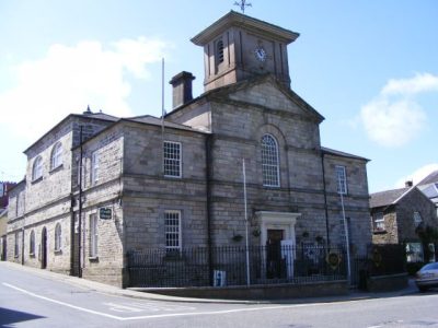
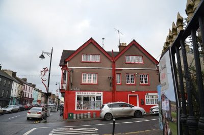
8 like it are within 40 km, each with a photo. “House, West Street, New Street” in Lismore is the nearest, at 21 km. The farthest is “House, Main Street, South Mall” in Lismore, 21 km away.



Questions about Castlelyons Friary
Is Castlelyons Friary on the National Inventory?
It is on the Sites and Monuments Record (CO045-003----), the State’s list of archaeological sites.
Can you visit Castlelyons Friary?
It can be seen from the street; whether you can go inside depends on its owner.
Is Castlelyons Friary protected?
Being on the National Inventory or the Sites and Monuments Record is a record, not protection by itself: buildings are protected by their council’s Record of Protected Structures, which each council keeps and no national open list gathers, so this page can’t say which are on it.
Source: National Inventory of Architectural Heritage and Sites and Monuments Record, Department of Housing, Local Government and Heritage (CC BY 4.0); Wikidata (CC0).
Sources: Sites and Monuments Record and the National Monuments Service’s monuments to visit · Photos: Wikimedia Commons, including the National Library of Ireland’s collections, each credited with its licence and copied to our own server · Wikidata (CC0) for other names and articles. Under Creative Commons Attribution 4.0 (CC BY 4.0).
Contains Central Statistics Office (CSO) data, Census 2022, and Tailte Éireann boundaries (CSO Urban Areas, Small Areas, local electoral areas, constituencies), under Creative Commons Attribution 4.0 (CC BY 4.0).