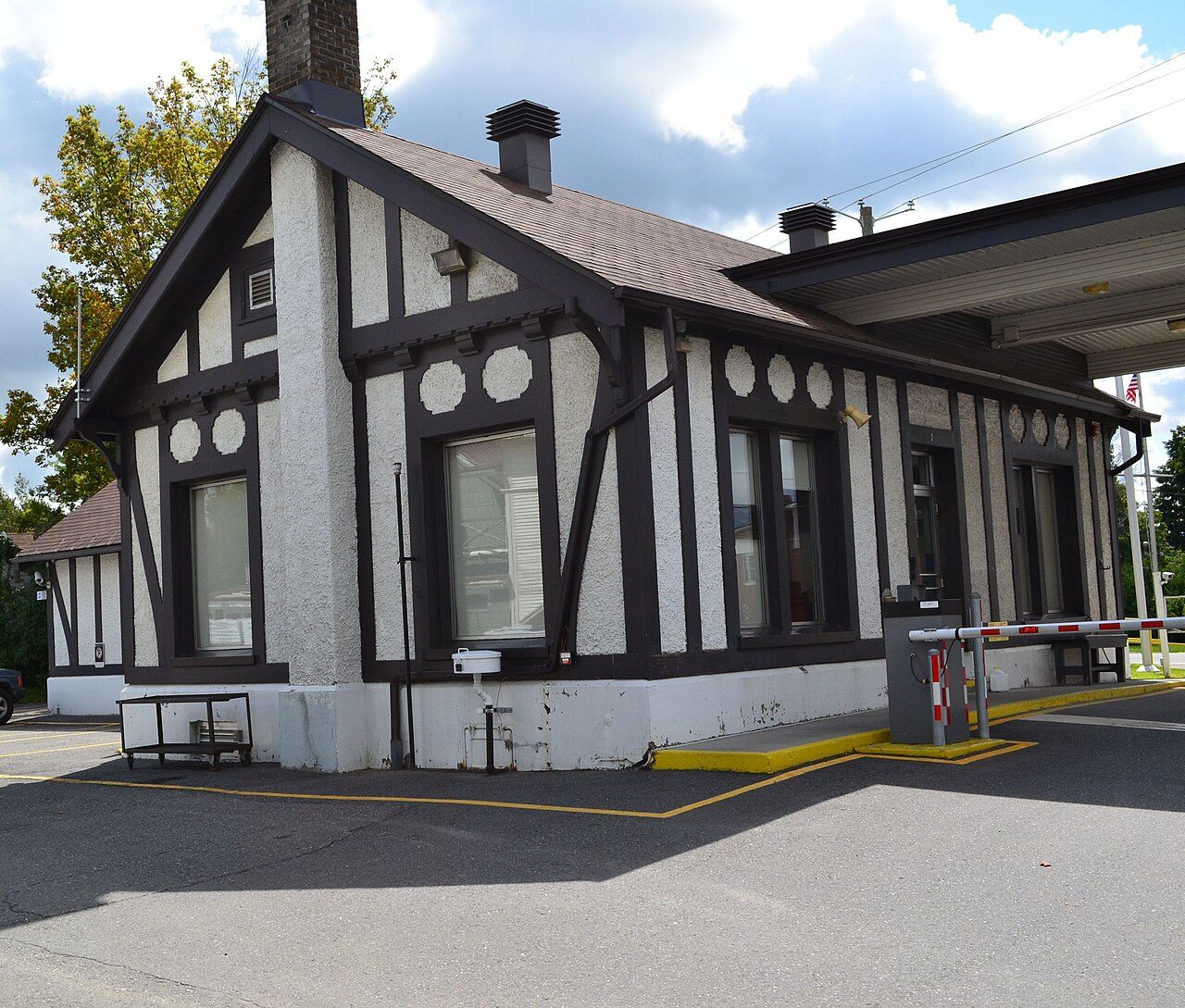
Border Crossing Facility
In French: Poste frontalier de Beebe
Also known as Customs / Immigration Building
2 Principale Street (Highway 247), Stanstead
About Border Crossing Facility
Border Crossing Facility is the one Recognized Federal Heritage Building in Stanstead. The register gives 1932–1933 for Border Crossing Facility. Within 400 m there are 2 more historic places.
The Border Crossing Facility is located in the village of Beebe. It is a one-and-a-half storey, gable-roofed building designed in the Tudor-Revival style. Its picturesque form is embellished with gables, white stucco and half-timbering. Multi-pane wood windows are regularly arranged on the building’s façades and a brick chimney projects from the roof. A flat-roofed breezeway, which shelters the entrance, is attached to the building to protect the vehicles that pass through the border crossing. The designation is confined to the footprint of the building.
From the Canadian Register of Historic Places, Border Crossing Facility · Open Government Licence – Canada · in the register’s words, not edited
Recognized federal heritage buildings are owned by the Government of Canada and reviewed for their heritage value.
Make it a walk: 3 historic places in about 10 minutes
Stanstead · about 500 m on foot, as the crow flies


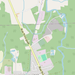
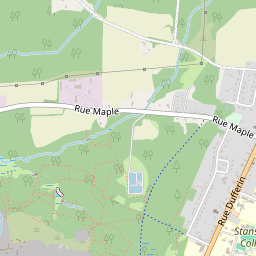


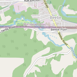
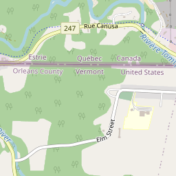
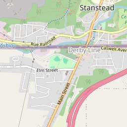


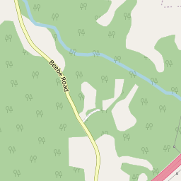
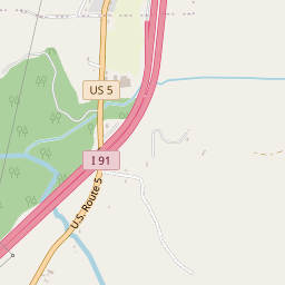
- 1Border Crossing FacilityStart here
- 2Église Advent ChristianMunicipal citation (Québec) · 200 m on
- 3Ancienne église Wesley UnitedMunicipal citation (Québec) · 300 m on
2 within 300 m
Every place on the record within this distance; each opens its own page.
Questions about Border Crossing Facility
What is Border Crossing Facility?
Border Crossing Facility is a Recognized Federal Heritage Building, designated in 2001.
Is Border Crossing Facility protected?
The federal heritage policy applies while Canada owns it.
When was Border Crossing Facility built?
By its record, Border Crossing Facility dates from 1932–1933.
Can you visit Border Crossing Facility?
Its exterior is visible from public ground; access inside is up to the owner.
Contains information licensed under the Open Government Licence – Canada (Parks Canada).
Sources: Parks Canada, Directory of Federal Heritage Designations · Canadian Register of Historic Places (federal extract) · Photos: Wikimedia Commons, each credited with its licence and copied to our own server · Wikidata (CC0) for map points, other names and articles.
Adapted from Statistics Canada (Census of Population 2021, population estimates 2025, 2021 census boundaries) under the Statistics Canada Open Licence; this does not constitute an endorsement by Statistics Canada. Neighbourhood names in some cities © OpenStreetMap contributors (ODbL).