Carré Royal
rue Charlotte¤ rue du Prince¤ rue du Roi¤ rue George, Sorel-Tracy
About Carré Royal
In Sorel-Tracy, Carré Royal is one of 5 places with Québec’s classement. 3 neighbours on the registers lie within 400 m.
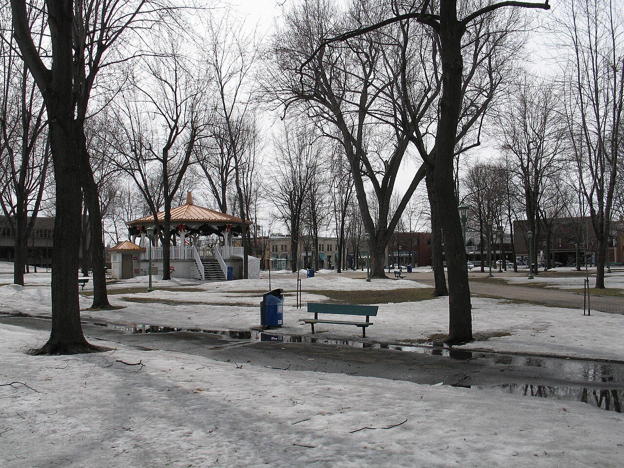
Le carré Royal est un terrain aménagé en parc urbain à la fin du XIXe siècle après avoir servi de place d'armes de 1780 à 1860. Il comprend aujourd'hui de nombreux sentiers que bordent des arbres plantés régulièrement. L'ensemble des allées forme un plan radiant qui représente le drapeau britannique, l'Union Jack. Situé au coeur du secteur ancien de la ville de Sorel-Tracy, le carré forme l'îlot central du plan orthogonal de cette partie de la ville. Ce bien est classé immeuble patrimonial. La protection s'applique au terrain et à ses structures et aménagements.
From Québec’s Répertoire du patrimoine culturel (in French: the register has no English text), Carré Royal · CC BY 4.0 · quoted as the register has it
A classement is Québec’s strongest protection under its Loi sur le patrimoine culturel.
Make it a walk: 2 historic places in about 10 minutes
Sorel-Tracy · about 300 m on foot, as the crow flies


2 within 300 m
Every place on the record within this distance; each opens its own page.
Questions about Carré Royal
Is Carré Royal protected?
Its classement protects it under Québec’s law; changes need the minister’s approval.
Can you visit Carré Royal?
From outside, yes; going in depends on who owns or runs it.
What is Carré Royal?
Carré Royal: a place Québec classified in 1961.
Contains information licensed under the Open Government Licence – Canada (Parks Canada). Québec register data: Ministère de la Culture et des Communications du Québec, CC BY 4.0.
Sources: Répertoire du patrimoine culturel du Québec (MCC, Données Québec) · Photos: Wikimedia Commons, each credited with its licence and copied to our own server · Wikidata (CC0) for map points, other names and articles.
Adapted from Statistics Canada (Census of Population 2021, population estimates 2025, 2021 census boundaries) under the Statistics Canada Open Licence; this does not constitute an endorsement by Statistics Canada. Neighbourhood names in some cities © OpenStreetMap contributors (ODbL).