Cobalt Mining District
In French: Arrondissement de l'exploitation minière de Cobalt
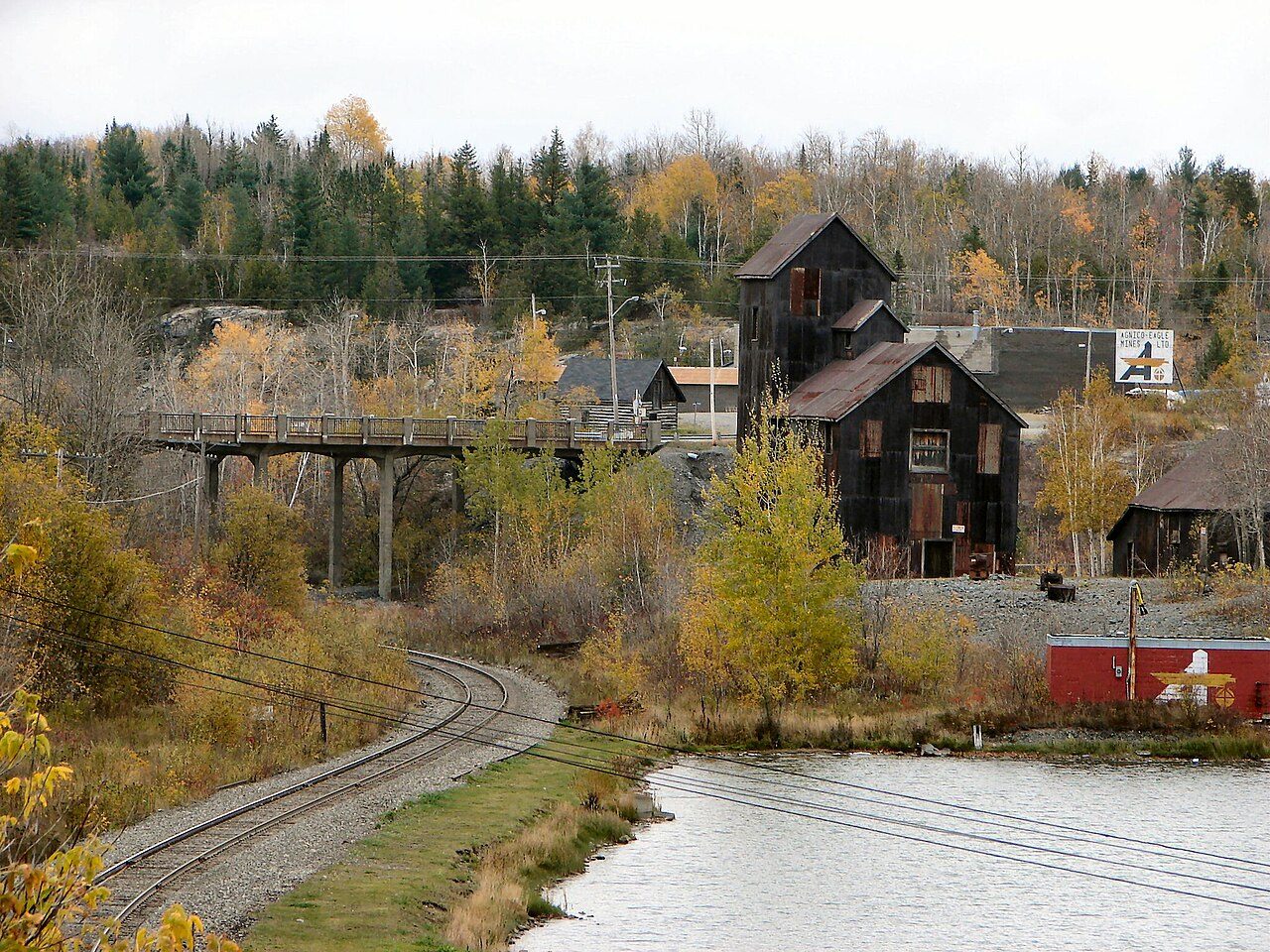
Cobalt Mining District, c. 1910 and today
Drag across to compare. The two views aren’t taken from exactly the same spot.

c. 1910: Photo: The Cobalt Daily Nugget · Public domain. Today: Photo: P199 · CC BY-SA 3.0.
About Cobalt Mining District
In Temiskaming Shores, Cobalt Mining District is the National Historic Site. Cobalt Mining District dates from 1903.
The Cobalt Mining District National Historic Site of Canada consists of portions of the Town of Cobalt and a part of the Township of Coleman in the District of Timiskaming, which contain landscape features, mines and buildings associated with early 20th-century silver mining and urban settlement.
From the Canadian Register of Historic Places, Cobalt Mining District National Historic Site of Canada · Open Government Licence – Canada · the register’s own words, unchanged
The Historic Sites and Monuments Board recommends National Historic Sites; the designation marks national significance, not ownership.
2 old views of Cobalt Mining District
Made before 1950, from 1910 to 1918: public domain or CC0. Tap one to see it full screen.
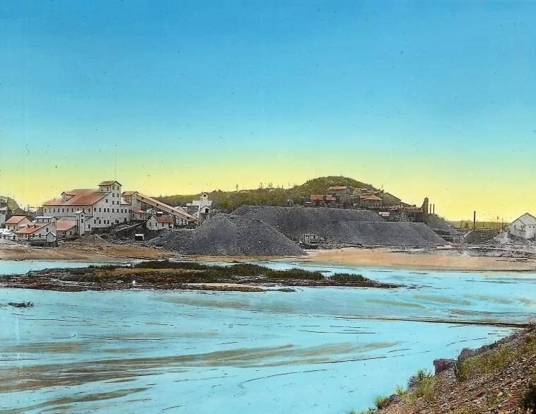 c. 1918
From Wikimedia Commons, copied to our own server; some are drawings, prints or maps of their time. Each credit is in the viewer.
Finding Cobalt Mining District
Temiskaming Shores


It is a stop on its own: the next historic place is a longer trip.
Questions about Cobalt Mining District
When was Cobalt Mining District built?
Cobalt Mining District went up in 1903, by its record.
Can you visit Cobalt Mining District?
From outside, yes; going in depends on who owns or runs it.
Is Cobalt Mining District protected?
National Historic Site status commemorates; legal protection, where there is any, comes from the province or municipality, or from federal ownership.
What is Cobalt Mining District?
A National Historic Site: Canada designated Cobalt Mining District in 2002.
Contains information licensed under the Open Government Licence – Canada (Parks Canada).
Sources: Parks Canada, Directory of Federal Heritage Designations · Canadian Register of Historic Places (federal extract) · Photos: Wikimedia Commons, each credited with its licence and copied to our own server · Wikidata (CC0) for map points, other names and articles.
Adapted from Statistics Canada (Census of Population 2021, population estimates 2025, 2021 census boundaries) under the Statistics Canada Open Licence; this does not constitute an endorsement by Statistics Canada. Neighbourhood names in some cities © OpenStreetMap contributors (ODbL).