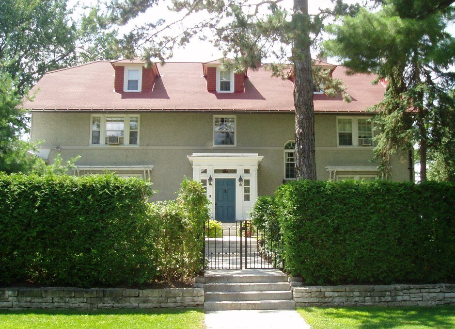
Stornoway
541 Acacia Drive, Manor Park
Houses like this one are often still lived in, so view it from the public way.
About Stornoway
Stornoway is the one Recognized Federal Heritage Building in Manor Park. The register gives 1913–1915 for Stornoway. Its design is credited to Allan Keefer.
Stornoway sits on wooded grounds in the residential area of Rockcliffe Park in Ottawa. It is a two-and-a-half storey, hip and gable roofed building with dormers, a projecting two-storey wing and an enclosed, flat-roofed, one-storey verandah. A classically-inspired entrance porch is centrally located on the main façade. The walls are clad in stucco with a narrow stringcourse and regularly arranged windows. The designation is confined to the footprint of the building.
From the Canadian Register of Historic Places, Stornoway · Open Government Licence – Canada · in the register’s words, not edited
The federal government rates the heritage buildings it owns as Classified or Recognized.
Finding Stornoway
Manor Park


Its nearest historic neighbours are too far for a short walk.
Questions about Stornoway
What is Stornoway?
In 1986 the federal government recognized Stornoway as a heritage building.
Is Stornoway protected?
The federal heritage policy applies while Canada owns it.
Can you visit Stornoway?
As a home it is probably lived in, so it is best seen from outside.
When was Stornoway built?
By its record, Stornoway dates from 1913–1915.
Contains information licensed under the Open Government Licence – Canada (Parks Canada).
Sources: Parks Canada, Directory of Federal Heritage Designations · Canadian Register of Historic Places (federal extract) · Photos: Wikimedia Commons, each credited with its licence and copied to our own server · Wikidata (CC0) for map points, other names and articles.
Adapted from Statistics Canada (Census of Population 2021, population estimates 2025, 2021 census boundaries) under the Statistics Canada Open Licence; this does not constitute an endorsement by Statistics Canada. Neighbourhood names in some cities © OpenStreetMap contributors (ODbL).