Find your neighbourhood in London
Since the 2021 census the city is up 17.2%. Top of the city’s neighbourhoods stands River Bend, ranked #284 of 2,556. The city’s middle neighbourhood leads on hazard risk; cost of living is where it lags furthest. 3 of the city’s neighbourhoods grade A− or better overall. The city’s lowest-graded neighbourhood is Argyle, #2,007 of 2,556 in the country. The city’s median neighbourhood, Jackson, stands #1,199 among 2,556 in the country. 29 neighbourhoods make up London here. Argyle is the largest, with 28,109 people.

Find a town that’s…
In national order: each neighbourhood is ranked in its province and across the country, not within the city.
29 towns · in national order


London’s neighbourhoods, list by list
River Bend is first on 7 of the 13 lists that rank the neighbourhoods in London.
Questions about London
How do the biggest towns in London grade?
Argyle grades C overall, with its best grade in hazard risk. Next in size, West London grades C+, best in walkability.
Is every town in London on TownRatings?
Yes: every neighbourhood of London has its page, listed here.
Why isn’t my town ranked?
Neighbourhoods are ranked in their province and nationally, not against each other within the city.
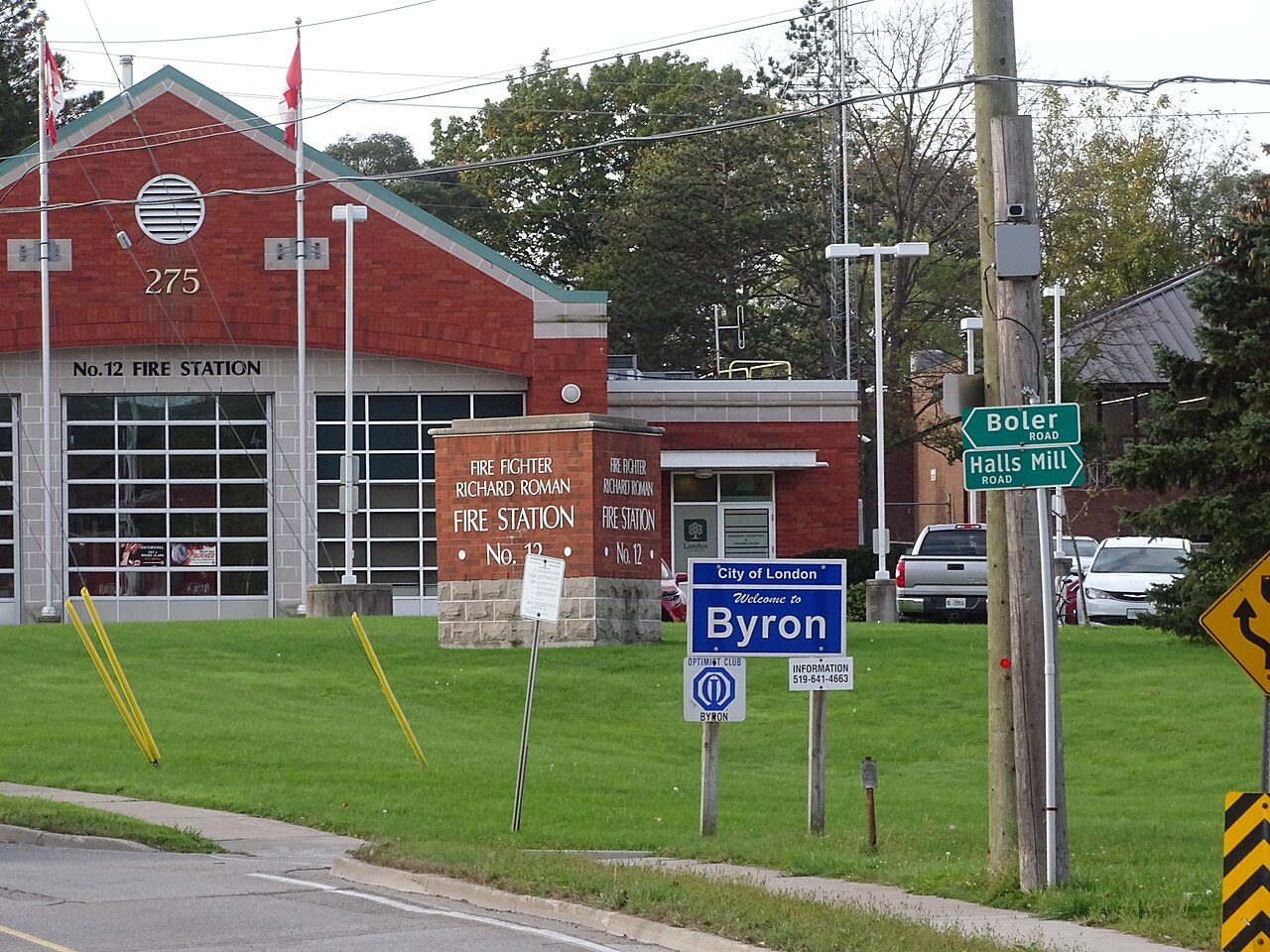
Photos: Uplands, Quinten Wiegersma (CC BY 4.0) · Byron, Mosbo6 (CC BY-SA 4.0) · Oakridge, Jfvoll (CC BY-SA 4.0) · Masonville, Mytoeraider (CC BY-SA 4.0) · Stoneybrook, WabbitWanderer from London, Canada (CC BY-SA 2.0) · Talbot, (c) Andrew Murray, some rights reserved (CC BY) (CC BY 4.0) · Westmount, WabbitWanderer from London, Canada (CC BY-SA 2.0) · Sunningdale, Adam Bishop (CC BY-SA 4.0) · Medway, Earth Science and Remote Sensing Unit , Lyndon B. Johnson S… (Public domain) · North London, Jfvoll (CC BY-SA 4.0) · Stoney Creek, Quinten Wiegersma (CC BY 4.0) · Westminster, Scott Webb scottwebb (CC0) · South London, Adam Bishop (CC BY-SA 4.0) · West London, Gogerr (CC BY 4.0) · Southcrest, Jfvoll (CC BY-SA 4.0) · Carling, WabbitWanderer from London, Canada (CC BY-SA 2.0) · Hamilton Road, JFVoll (CC BY-SA 4.0) · Central London, Ken Lund from Reno, Nevada, USA (CC BY-SA 2.0) · Huron Heights, Jfvoll (CC BY-SA 4.0) · Glen Cairn, Loozrboy from Toronto, Canada (CC BY-SA 2.0) · White Oaks, Jfvoll (CC BY-SA 4.0) · East London, Jfvoll (CC BY-SA 4.0) · Bostwick, Earth Science and Remote Sensing Unit , Lyndon B. Johnson S… (Public domain) · Argyle, Jfvoll (CC BY-SA 4.0), via Wikimedia Commons.
Sources: TownRatings grades: our own summary of the data, ranking Canadian towns against each other only, run #73 of 10 November 2026 · Statistics Canada, 2021 Census of Population and population estimates. Under the Statistics Canada Open Licence.
Adapted from Statistics Canada (Census of Population 2021, population estimates 2025, 2021 census boundaries) under the Statistics Canada Open Licence; this does not constitute an endorsement by Statistics Canada. Neighbourhood names in some cities © OpenStreetMap contributors (ODbL).