
Fort Henry
Fort Henry, 1839–1842 and today
Drag across to compare. The two views aren’t taken from exactly the same spot.
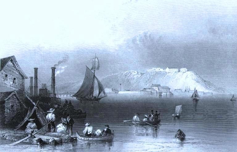
1839–1842: Photo: William Henry Bartlett · Public domain. Today: Photo: McCarthy Aero Service Ltd · Public domain.
About Fort Henry
Canada counts Fort Henry among Kingston’s 22 National Historic Sites. Fort Henry dates from 1832–1841.
Fort Henry National Historic Site of Canada is a 19th-century British military fortress situated on Point Henry between the mouth of Kingston harbour and a second natural harbour at the mouth of the Cataraqui River. It sits high on a natural cliff facing the confluence of the eastern end of Lake Ontario with the beginning of the St. Lawrence River. The designation refers to the fort, its redoubt, advanced battery, the former ''dead zone'' to the north and east, and the associated cultural resources found thereon.
From the Canadian Register of Historic Places, Fort Henry National Historic Site of Canada · Open Government Licence – Canada · as published, word for word
A National Historic Site is designated by the federal minister on the Historic Sites and Monuments Board’s advice.
5 old views of Fort Henry
Made before 1950, from 1840 to 1909: public domain or CC0. Tap one to see it full screen.
1839–1842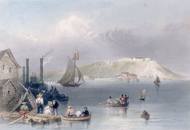 1841
 1898
 1908
 1898–1920
From Wikimedia Commons, copied to our own server; some are drawings, prints or maps of their time. Each credit is in the viewer.
Finding Fort Henry
Kingston


There is no walk from here to another historic place; see farther afield.
Questions about Fort Henry
When was Fort Henry built?
Work on Fort Henry is recorded as 1832–1841.
Can you visit Fort Henry?
Yes, most likely: it is recorded as a museum, though hours vary.
Is Fort Henry protected?
The designation recognizes its national significance; it doesn’t by itself protect a building the federal government doesn’t own. Provincial or municipal designation may.
What is Fort Henry?
Canada named Fort Henry a National Historic Site in 1923.
Contains information licensed under the Open Government Licence – Canada (Parks Canada).
Sources: Parks Canada, Directory of Federal Heritage Designations · Canadian Register of Historic Places (federal extract) · Photos: Wikimedia Commons, each credited with its licence and copied to our own server · Wikidata (CC0) for map points, other names and articles.
Adapted from Statistics Canada (Census of Population 2021, population estimates 2025, 2021 census boundaries) under the Statistics Canada Open Licence; this does not constitute an endorsement by Statistics Canada. Neighbourhood names in some cities © OpenStreetMap contributors (ODbL).