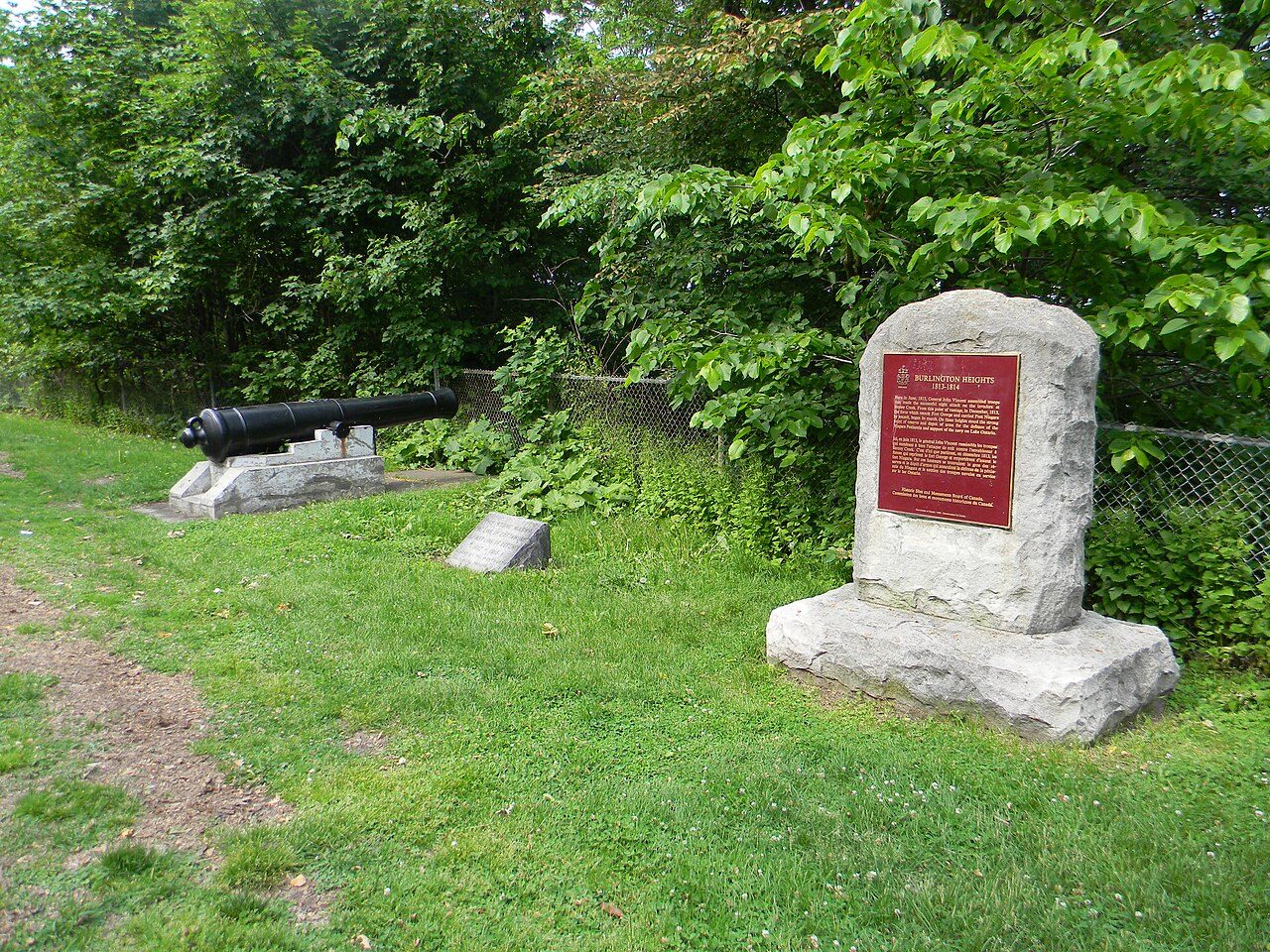
Burlington Heights
Also known as Burlington Heights 1813-1814
610 York Boulevard, Strathcona
About Burlington Heights
In Strathcona, Burlington Heights is one of 2 National Historic Sites. Burlington Heights dates from 1813–1814. Another historic place stands within 400 m of it.
Burlington Heights National Historic Site of Canada is located on an isthmus, 2.5 kilometres long and rising some 30 metres above lake level, separating Cootes Paradise from the harbour in Hamilton, Ontario. Crossed by railway lines, major highways and a canal, the site currently features a number of parks, a cemetery and botanical gardens. Official recognition refers to the high ground bounded by the southern boundaries of Dundurn Park and Hamilton Cemetery, and a 95-metre contour line.
From the Canadian Register of Historic Places, Burlington Heights National Historic Site of Canada · Open Government Licence – Canada · in the register’s words, not edited
National Historic Site status comes on the advice of the Historic Sites and Monuments Board of Canada.
Make it a walk: 2 historic places in about 5 minutes
Strathcona · about 200 m on foot, as the crow flies


- 1Burlington HeightsStart here
- 2Dundurn CastleNational Historic Site · 200 m on
1 within 300 m
Every place on the record within this distance; each opens its own page.
Questions about Burlington Heights
Can you visit Burlington Heights?
From outside, yes; going in depends on who owns or runs it.
Is Burlington Heights protected?
National Historic Site status commemorates; legal protection, where there is any, comes from the province or municipality, or from federal ownership.
What is Burlington Heights?
Burlington Heights has been a National Historic Site of Canada since 1929.
When was Burlington Heights built?
Work on Burlington Heights is recorded as 1813–1814.
Contains information licensed under the Open Government Licence – Canada (Parks Canada).
Sources: Parks Canada, Directory of Federal Heritage Designations · Canadian Register of Historic Places (federal extract) · Photos: Wikimedia Commons, each credited with its licence and copied to our own server · Wikidata (CC0) for map points, other names and articles.
Adapted from Statistics Canada (Census of Population 2021, population estimates 2025, 2021 census boundaries) under the Statistics Canada Open Licence; this does not constitute an endorsement by Statistics Canada. Neighbourhood names in some cities © OpenStreetMap contributors (ODbL).