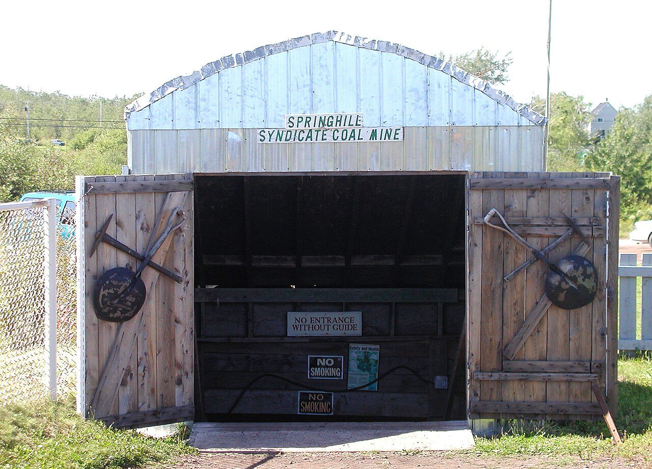
Springhill Coal Mining
In French: Exploitation houillère de Springhill
Also known as Nova Scotia Coal Fields , Syndicate Mine , Springhill Miner’s Museum
Corner of Industrial Park Dr and Memorial Crescent, Springhill
About Springhill Coal Mining
In Springhill, Springhill Coal Mining is the National Historic Site. The register gives 1873–1874 for Springhill Coal Mining.
Springhill Coal Mining National Historic Site of Canada is a former coal mine located in an industrial park in Springhill, Nova Scotia. The site consists of in situ surface and underground mining features that are unique to Nova Scotia, including the entrances to the infamous Nos. 2 and 4 mines, a series of brick buildings, and a pond and spillway system used for steam hoisting engines. The focal point of the site is the one-storey redbrick building known as the lamp cabin, dating from the early 1900s. Official recognition refers to the various natural and man-made lines that form an irregular site enclosing a concentration of resources related to the mining operations at Nos. 2 and 4 mines.
From the Canadian Register of Historic Places, Springhill Coal Mining National Historic Site of Canada · Open Government Licence – Canada · the register’s own words, unchanged
The Historic Sites and Monuments Board recommends National Historic Sites; the designation marks national significance, not ownership.
Finding Springhill Coal Mining
Springhill


There is no walk from here to another historic place; see farther afield.
Questions about Springhill Coal Mining
What is Springhill Coal Mining?
Since 1998, Springhill Coal Mining has been a National Historic Site of Canada.
Can you visit Springhill Coal Mining?
Its exterior is visible from public ground; access inside is up to the owner.
When was Springhill Coal Mining built?
Work on Springhill Coal Mining is recorded as 1873–1874.
Is Springhill Coal Mining protected?
National Historic Site status commemorates; legal protection, where there is any, comes from the province or municipality, or from federal ownership.
Contains information licensed under the Open Government Licence – Canada (Parks Canada).
Sources: Parks Canada, Directory of Federal Heritage Designations · Canadian Register of Historic Places (federal extract) · Photos: Wikimedia Commons, each credited with its licence and copied to our own server · Wikidata (CC0) for map points, other names and articles.
Adapted from Statistics Canada (Census of Population 2021, population estimates 2025, 2021 census boundaries) under the Statistics Canada Open Licence; this does not constitute an endorsement by Statistics Canada. Neighbourhood names in some cities © OpenStreetMap contributors (ODbL).