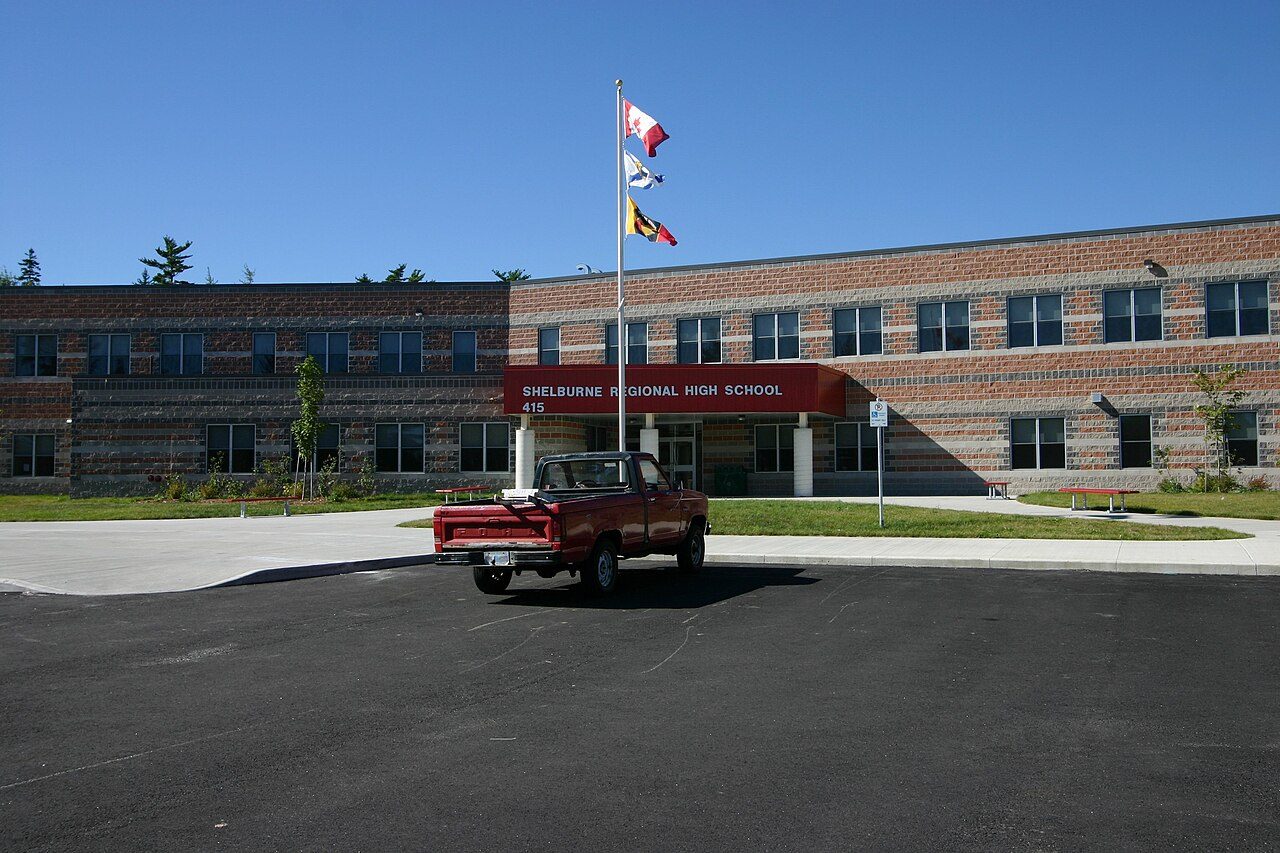
Shelburne Regional High School
415 Woodlawn Dr · Shelburne · B0T 1W0 · Tri-County Regional Centre for Education
Shelburne Regional High School is one of 4 elementary schools in or within 3 km of Shelburne. Every school in and around Shelburne →
What stands out about Shelburne Regional High School
- Public and English-language, under Tri-County Regional Centre for Education.
Nothing to place Shelburne Regional High School by
Placing Shelburne Regional High School would take results by school, and the province reports its assessments by regional centre, and that series stops in 2019–20.
For the same reason, Shelburne has no School Grade.
Getting a place at Shelburne Regional High School
No application round, no lottery: the address fixes the school, and the board handles the paperwork.
The provinces’ education acts and the boards’ own admission policies; check with the board for a given address.
Side by side with the nearest elementary schools
The neighbouring schools of its level, with their systems.
| School | System | Language | Away |
|---|---|---|---|
| Shelburne Regional High School | English public | English | |
| Hillcrest Academy | English public | English | 0.9 km |
| Lockeport Elementary School | English public | English | 17 km |
| Lockeport Regional High School | English public | English | 17 km |
Elementary schools near Shelburne Regional High School
Nearest first, as the crow flies, up to 25 km. Each school’s own admission policy decides who gets a place.
Questions about Shelburne Regional High School
Who runs Shelburne Regional High School?
Tri-County Regional Centre for Education runs Shelburne Regional High School (English public).
What language does Shelburne Regional High School teach in?
English.
How do pupils get a place at Shelburne Regional High School?
Each board registers its own students; its website gives the school for an address.
Which schools of the same kind are near Shelburne Regional High School?
Closest by: Hillcrest Academy (0.9 km), Lockeport Elementary School (17 km) and Lockeport Regional High School (17 km).
Sources: Nova Scotia Department of Education, school contact list 2025-26 (Open Government Licence – Nova Scotia) · map tiles © OpenStreetMap contributors. Under the Statistics Canada Open Licence.
Adapted from Statistics Canada (Census of Population 2021, population estimates 2025, 2021 census boundaries) under the Statistics Canada Open Licence; this does not constitute an endorsement by Statistics Canada. Neighbourhood names in some cities © OpenStreetMap contributors (ODbL).