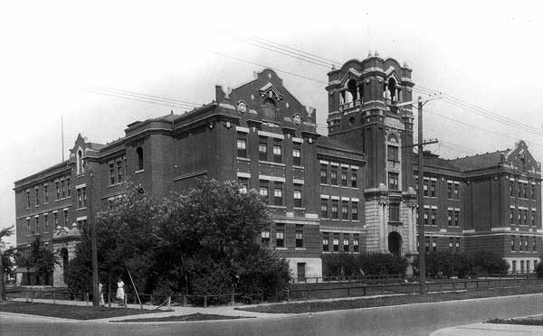
St. John's High School
401 Church Avenue · Winnipeg · R2W 1C4 · Winnipeg School Division
One of St. John's’s 18 secondary schools, counting 3 km beyond the edge: St. John's High School. Every school in and around St. John's →
What stands out about St. John's High School
- An English public school, run by Winnipeg School Division.
Nothing to place St. John's High School by
The province publishes no results school by school, so St. John's High School has no results band.
That also leaves St. John's without a School Grade.
Getting a place at St. John's High School
Attendance zones do the sorting here. Inside the zone a child is in; outside it, the answer turns on how full the school is.
The provinces’ education acts and the boards’ own admission policies; check with the board for a given address.
Side by side with the nearest secondary schools
Its nearest neighbours of the same level, any system.
| School | System | Language | Away |
|---|---|---|---|
| St. John's High School | English public | English | |
| Winnipeg S.D. Summer School | English public | English | 0 km |
| Isaac Newton School | English public | English | 1.2 km |
| Children of the Earth High School | English public | English | 1.4 km |
| R.B. Russell Vocational School | English public | English | 1.6 km |
| Met School | English public | English | 1.9 km |
| Andrew Mynarski V.C. School | English public | English | 2.4 km |
Secondary schools near St. John's High School
Nearest first, as the crow flies, up to 25 km. Each school’s own admission policy decides who gets a place.
Questions about St. John's High School
Who runs St. John's High School?
The board is Winnipeg School Division; St. John's High School is English public.
What language does St. John's High School teach in?
English.
How do pupils get a place at St. John's High School?
Start with the board for the system you want; your address sets the school.
Which schools of the same kind are near St. John's High School?
The nearest are Winnipeg S.D. Summer School (0 km), Isaac Newton School (1.2 km) and Children of the Earth High School (1.4 km).
Sources: Statistics Canada, Open Database of Educational Facilities v2.1 (2019–22) · map tiles © OpenStreetMap contributors. Under the Statistics Canada Open Licence.
Adapted from Statistics Canada (Census of Population 2021, population estimates 2025, 2021 census boundaries) under the Statistics Canada Open Licence; this does not constitute an endorsement by Statistics Canada. Neighbourhood names in some cities © OpenStreetMap contributors (ODbL).