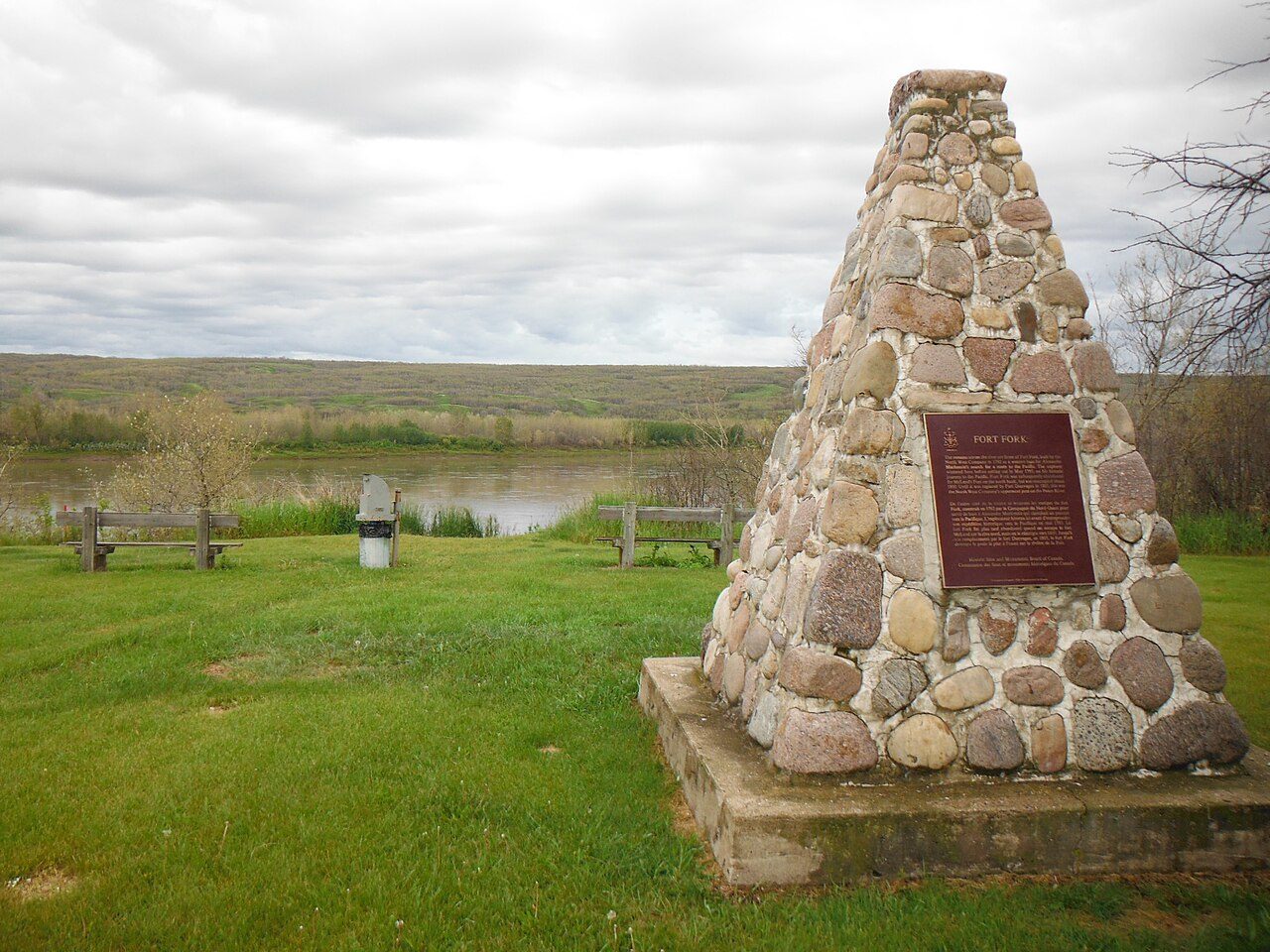
Fort Fork
River Lot 19, Shaftesbury Settlement, Peace No. 135
About Fort Fork
In Peace No. 135, Fort Fork is the National Historic Site. By its record, Fort Fork was built in 1792–1793.
Fort Fork National Historic Site of Canada is an archaeological site located on the east bank of the Peace River, southwest of the Town of Peace River, Alberta. It sits in a wooded area about ten kilometres above the mouth of the Smoky River. There are no visible remains of the fort associated with the first transcontinental journey of Alexander Mackenzie. Official recognition refers to a semi-circle with a radius of 100 metres around the point where a line of convenience from the HSMBC cairn meets the east bank of the Peace River.
From the Canadian Register of Historic Places, Fort Fork National Historic Site of Canada · Open Government Licence – Canada · in the register’s words, not edited
National Historic Site status comes on the advice of the Historic Sites and Monuments Board of Canada.
Finding Fort Fork
Peace No. 135


No second historic place is close enough here to make a walk of it.
Questions about Fort Fork
Is Fort Fork protected?
The designation recognizes its national significance; it doesn’t by itself protect a building the federal government doesn’t own. Provincial or municipal designation may.
What is Fort Fork?
A National Historic Site: Canada designated Fort Fork in 1928.
Can you visit Fort Fork?
The outside is easy to see; inside, it depends on the owner’s rules.
When was Fort Fork built?
Its register puts the building of Fort Fork at 1792–1793.
Contains information licensed under the Open Government Licence – Canada (Parks Canada).
Sources: Parks Canada, Directory of Federal Heritage Designations · Canadian Register of Historic Places (federal extract) · Photos: Wikimedia Commons, each credited with its licence and copied to our own server · Wikidata (CC0) for map points, other names and articles.
Adapted from Statistics Canada (Census of Population 2021, population estimates 2025, 2021 census boundaries) under the Statistics Canada Open Licence; this does not constitute an endorsement by Statistics Canada. Neighbourhood names in some cities © OpenStreetMap contributors (ODbL).