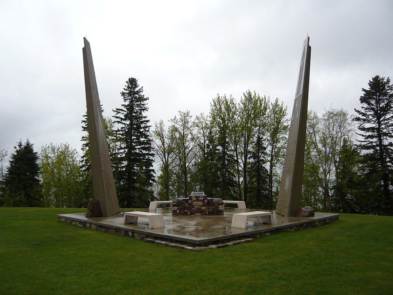
Rundle's Mission
In French: Mission Rundle
Also known as Pigeon Lake Mission , Mission Beach , Benjamin and Margaret Sinclair Provincial Historic Site
Township Road 474A, Leduc County
About Rundle's Mission
National Historic Site status goes to 2 places in Leduc County, Rundle's Mission among them. Rundle's Mission dates from 1847–1848.
Rundle’s Mission National Historic Site of Canada is located on the north shore of Pigeon Lake, in Alberta. Associated with Reverend Robert Terrill Rundle, the Wesleyan chaplain to the Hudson’s Bay Company, the site was selected in 1847 for the establishment of a permanent mission. While there are no visible resources of the original mission, archaeological testing has revealed evidence associated with early mission buildings, including remains of houses, an artesian well and possible pre-contact resources. Official recognition refers to the original site of the mission.
From the Canadian Register of Historic Places, Rundle's Mission National Historic Site of Canada · Open Government Licence – Canada · quoted as the register has it
National Historic Sites are places the Minister of Environment designates, on the advice of the Historic Sites and Monuments Board, for their national significance.
Finding Rundle's Mission
Leduc County


There is no walk from here to another historic place; see farther afield.
Questions about Rundle's Mission
When was Rundle's Mission built?
Its register puts the building of Rundle's Mission at 1847–1848.
Can you visit Rundle's Mission?
Yes from the outside; whether it opens its doors is for its owner to say.
Is Rundle's Mission protected?
National Historic Site status commemorates; legal protection, where there is any, comes from the province or municipality, or from federal ownership.
What is Rundle's Mission?
Rundle's Mission has been a National Historic Site of Canada since 1963.
Contains information licensed under the Open Government Licence – Canada (Parks Canada).
Sources: Parks Canada, Directory of Federal Heritage Designations · Canadian Register of Historic Places (federal extract) · Photos: Wikimedia Commons, each credited with its licence and copied to our own server · Wikidata (CC0) for map points, other names and articles.
Adapted from Statistics Canada (Census of Population 2021, population estimates 2025, 2021 census boundaries) under the Statistics Canada Open Licence; this does not constitute an endorsement by Statistics Canada. Neighbourhood names in some cities © OpenStreetMap contributors (ODbL).