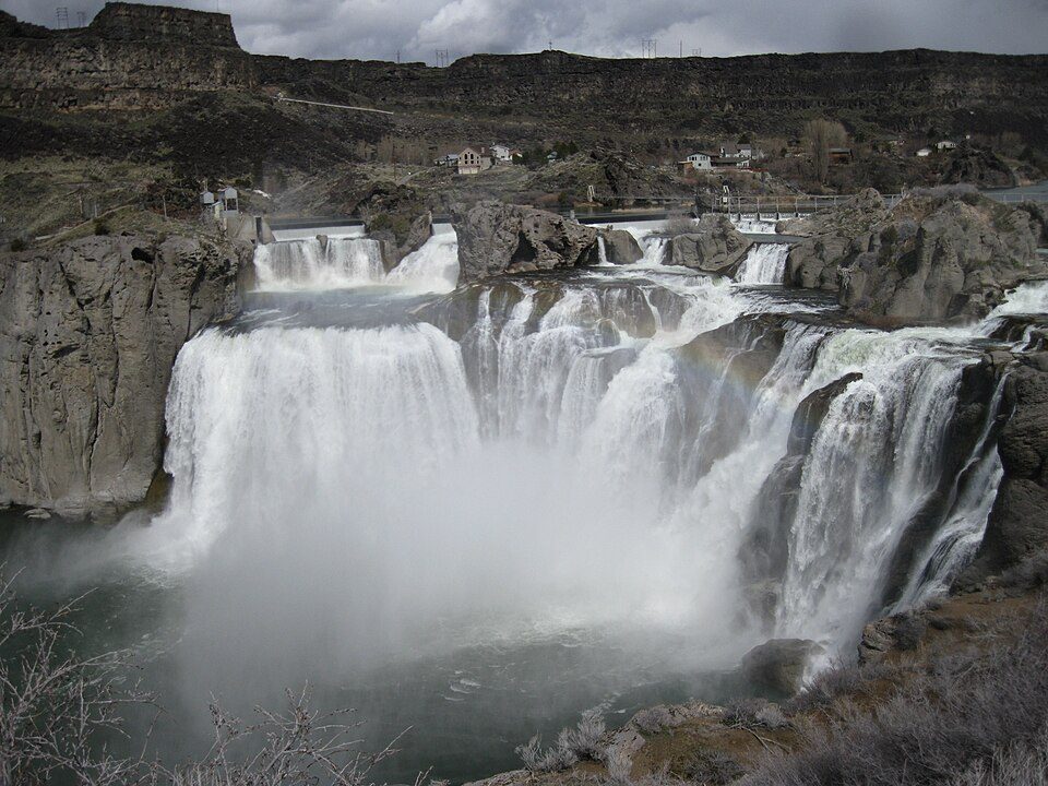
Shoshone Falls
Shoshone Falls ( shoh-SHOHN) is a waterfall in the western United States, on the Snake River in south-central Idaho, approximately three miles (5 km) northeast of the city of Twin Falls. Add Snake River Canyon, 0.7 mi away, to a visit. The mildest months are May, June and September, with highs of 71–80°F.

A waterfall, 4 mi northeast of Twin Falls
Twin Falls is the nearest base
Twin Falls is 4 miles southwest, with 30 places to stay. Where to stay ↓
Best months: May, Jun and Sep
May, June and September are the mild months, with highs of 71–80°. When to go ↓
An airport 9 miles away
Joslin Field Magic Valley Regional (TWF) has airline service, about 9 miles from Shoshone Falls.
Written from NOAA 1991–2020 normals, Overture places to stay, Census town figures, Wikidata and Wikipedia.
The weather by month
The weather near Shoshone Falls shifts through the year, as below.
Shoshone Falls
Shoshone Falls ( shoh-SHOHN) is a waterfall in the western United States, on the Snake River in south-central Idaho, approximately three miles (5 km) northeast of the city of Twin Falls. Sometimes called the "Niagara of the West," Shoshone Falls is 212 feet (65 m) in height, 45 feet (14 m) higher than Niagara Falls, and flows over a rim nearly one thousand feet (300 m) in width.
Formed by the cataclysmic outburst flooding of Lake Bonneville during the Pleistocene ice age about 14,000 years ago, Shoshone Falls marks the historical upper limit of fish migration (including salmon) in the Snake River, and was an important fishing and trading place for Native Americans. The falls were documented by Europeans as early as the 1840s; despite the isolated location, it became a tourist attraction starting in the 1860s.
- Type
- Waterfall
- Elevation
- 3,255 ft
- Wikipedia readers
- 27K a year
Nights near Shoshone Falls
For a bed close by, look to Twin Falls (30) and Jerome (7).
Twin Falls
The closest town with somewhere to stay.
56,216 people
4 mi southwest of Shoshone Falls
Compare 7 towns
| Town | From Shoshone Falls | Drive | Places to stay | People | Typical home | Safety |
|---|---|---|---|---|---|---|
| Twin Falls | 4 mi southwest | 5 min | 30 16 hotels · 9 motels · 1 inn or B&B · 1 campground · 3 RV parks | 56,216 | $321K | C |
| Jerome | 10 mi northwest | 15 min | 7 4 hotels · 2 motels · 1 RV park | 13,731 | $225K | B |
| Buhl | 18 mi west | 25 min | 3 1 hotel · 1 motel · 1 RV park | 4,801 | $248K | A− |
| Wendell | 20 mi northwest | 30 min | 2 1 motel · 1 campground | 3,090 | $242K | B |
| Hagerman | 30 mi northwest | 45 min | 6 2 hotels · 1 lodge or cabins · 3 RV parks | 994 | $195K | — |
| Gooding | 29 mi northwest | 45 min | 5 1 motel · 3 inns & B&Bs · 1 RV park | 3,855 | $186K | B− |
| Shoshone | 24 mi north | 35 min | 2 1 hotel · 1 motel | 1,767 | $230K | — |
Getting there
Nearest airports with airline service
Also within reach
These well-known places are within 66 miles.
 1in town Canyon & gorgeSnake River Canyon
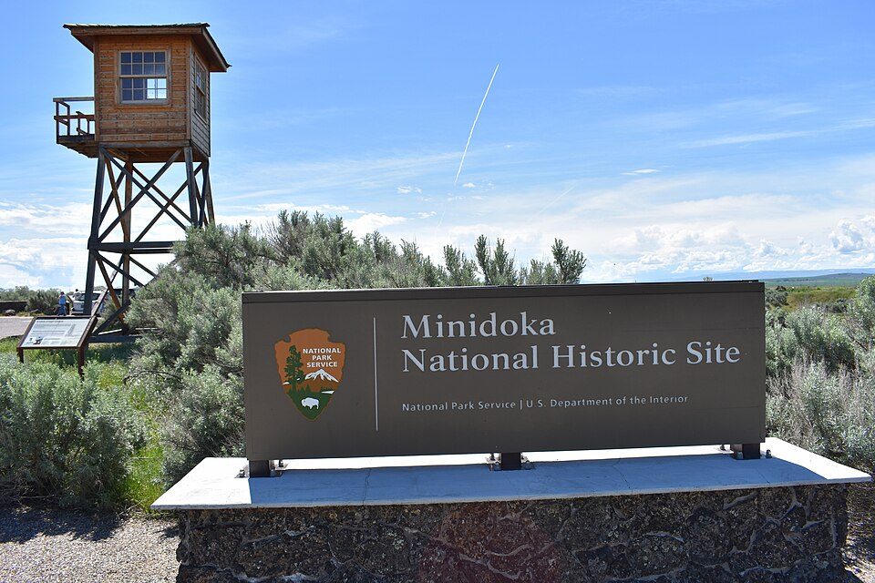 210 mi National Historic SiteMinidoka National Historic Site44K visitors a year
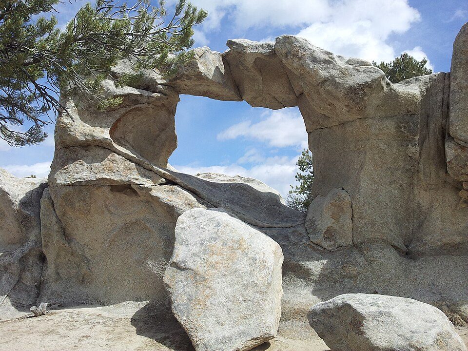 51 mi National park siteCity of Rocks National Reserve91K visitors a year
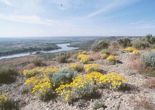 31 mi National MonumentHagerman Fossil Beds National Monument37K visitors a year329 mi Ski areaMagic Mountain Resort35 runs · 619 ft vertical45 mi Ski areaPomerelle Mountain Resort47 runs · 943 ft vertical66 mi Ski areaSoldier Mountain Ski Area41 runs · 1,393 ft vertical
Photo credits
Snake River Canyon: chadh, CC BY 2.0 · Minidoka National Historic Site: Tamanoeconomico, CC BY-SA 4.0 · City of Rocks National Reserve: Levieuxchiendetalus, CC BY-SA 3.0 · Hagerman Fossil Beds National Monument: NPS photo, Public domain


Shoshone Falls, answered
What town is Shoshone Falls near?
Twin Falls, ID, about 4 miles southwest.
When is the best time to visit Shoshone Falls?
May, June and September, with highs of 71–80°.
What is the closest airport to Shoshone Falls?
Joslin Field Magic Valley Regional (TWF), about 9 miles away. The nearest big hub is Boise Air Terminal/Gowen Field (BOI), about 114 miles.
Where should I stay near Shoshone Falls?
Twin Falls (4 mi, 30 places to stay), Jerome (10 mi, 7 places to stay) and Buhl (18 mi, 3 places to stay).
Notes from people in Twin Falls
Be the first to share a tip in Twin Falls’s Town Square.
Sources: National Park Service · ski areas © OpenSkiMap / OpenStreetMap contributors · Wikidata · Wikipedia readership · NOAA climate normals · U.S. Census.