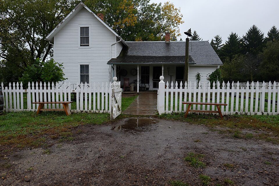
Living History Farms
Living History Farms is a 500-acre open-air museum located in Urbandale, Iowa, United States.

A museum inside Urbandale
Winters are cold
January nights drop to 13°, with about 38" of snow a year. When to go ↓
You can stay in Urbandale
Living History Farms is inside Urbandale, which has 17 places to stay, so you won’t need a base farther out. Where to stay ↓
Best months: May, Jun, Aug, Sep and Oct
May, June, August, September and October are the mild months, with highs of 64–83°. When to go ↓
An airport 8 miles away
Des Moines (DSM) has airline service, about 8 miles from Living History Farms.
Established in 1970
Living History Farms dates from 1970. About ↓
Written from NOAA 1991–2020 normals, Overture places to stay, Census town figures, Wikidata and Wikipedia.
Weather, month by month
Typical highs and lows in Urbandale. Green months are the mild ones.
Living History Farms
Living History Farms is a 500-acre open-air museum located in Urbandale, Iowa, United States. The museum's mission is to educate and connect all peoples to the many stories of Midwestern rural heritage. As its name implies, the museum follows the methodology of living history in depicting the lives of people living on farms in the years of 1700, 1850, and 1900, engaging in various agricultural activities.
- Type
- Museum
- Established
- 1970
- Wikipedia readers
- 2.2K a year
Where to stay near Living History Farms
The closest towns with hotels, motels or campgrounds are Urbandale (17) and Des Moines (64).
- 1Casey's Center
- 2Iowa State Capitol
- 3Adventureland
- 4Des Moines Art Center
- 5Drake Stadium
- 6Blank Park Zoo
- 7Hilton Coliseum
- 8Pappajohn Sculpture Park
Compare 8 towns
| Town | From Living History Farms | Drive | Places to stay | People | Typical home | Safety |
|---|---|---|---|---|---|---|
| Urbandale | in town | — | 17 15 hotels · 1 motel · 1 inn or B&B | 48,570 | $336K | B+ |
| Des Moines | 9 mi east | 15 min | 64 45 hotels · 9 motels · 3 inns & B&Bs · 3 lodges & cabins · 4 campgrounds | 212,086 | $195K | D |
| West Des Moines | 5 mi south | 5 min | 32 29 hotels · 1 motel · 1 lodge or cabins · 1 RV park | 74,224 | $309K | C+ |
| Ankeny | 12 mi northeast | 20 min | 30 28 hotels · 1 motel · 1 campground | 77,833 | $331K | B− |
| Clive | 2 mi west | 5 min | 9 7 hotels · 1 motel · 1 lodge or cabins | 19,861 | $401K | B− |
| Grimes | 5 mi north | 5 min | 6 3 hotels · 3 campgrounds | 17,405 | $305K | — |
| Johnston | 6 mi northeast | 10 min | 6 5 hotels · 1 campground | 25,065 | $369K | B+ |
| Waukee | 6 mi west | 10 min | 6 4 hotels · 2 campgrounds | 34,890 | $351K | B+ |
Getting there
Nearest airports with airline service
Also near Living History Farms
Other well-known places within 29 miles. Numbered ones are on the map above.
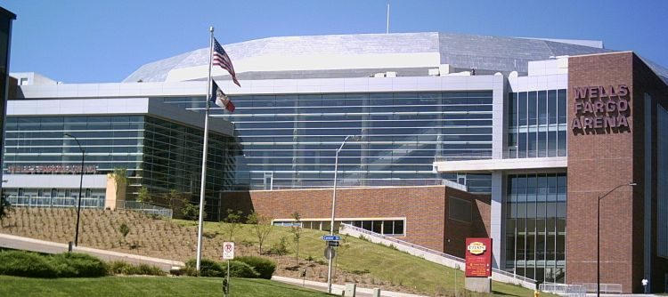 18 mi Stadium & arenaCasey's Center
 29 mi MuseumIowa State Capitol314 mi Theme parkAdventureland
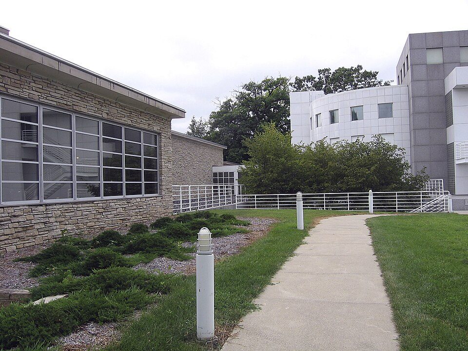 45 mi MuseumDes Moines Art Center
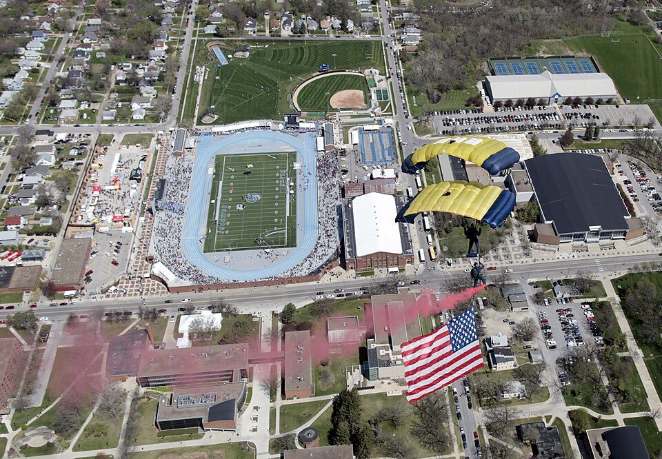 56 mi Stadium & arenaDrake Stadium
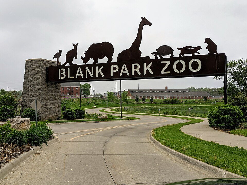 610 mi Zoo & aquariumBlank Park Zoo
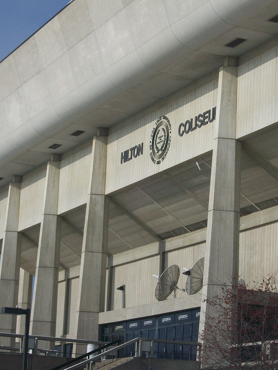 729 mi Stadium & arenaHilton Coliseum
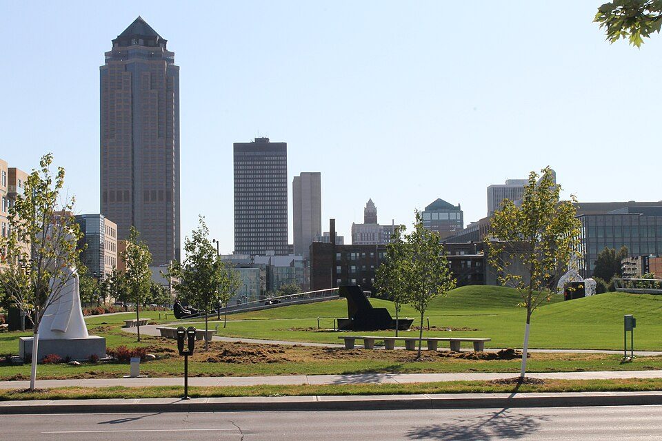 87 mi MuseumPappajohn Sculpture Park
Photo credits
Casey's Center: Iowahwyman at English Wikipedia, CC BY-SA 3.0 · Iowa State Capitol: Carol M. Highsmith, Public domain · Des Moines Art Center: Nhandler at English Wikipedia, CC BY-SA 3.0 · Drake Stadium: U.S. Navy photo by James Woods, Public domain · Blank Park Zoo: Lawrence Lansing, CC BY-SA 4.0 · Hilton Coliseum: Johannes Cater--Jaretac (talk) 15:14, 17 June 2009 (UTC), Public domain · Pappajohn Sculpture Park: Dsmspence, CC BY-SA 3.0


Visiting Living History Farms
Is Living History Farms in Urbandale?
Yes. It’s inside Urbandale, IA.
When is the best time to visit Living History Farms?
May, June, August, September and October, with highs of 64–83°.
What is the closest airport to Living History Farms?
Des Moines (DSM), about 8 miles away.
Where should I stay near Living History Farms?
Des Moines (9 mi, 64 places to stay), West Des Moines (5 mi, 32 places to stay) and Urbandale (in town, 17 places to stay).
Tips from people in Urbandale
No tips yet. Ask, or answer, in Urbandale’s Town Square.
Sources: National Park Service · ski areas © OpenSkiMap / OpenStreetMap contributors · Wikidata · Wikipedia readership · NOAA climate normals · U.S. Census.