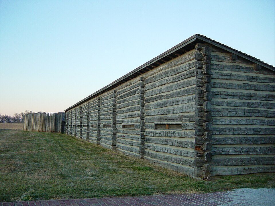
Fort Atkinson
Fort Atkinson was the first United States Army post to be established west of the Missouri River in the unorganized region of the Louisiana Purchase of the United States. Look for it in Township 1. Its history begins in 1971.

A landmark inside Township 1
Winters are cold
January nights drop to 14°. When to go ↓
Blair is the nearest base
Blair is 9 miles northwest, with 6 places to stay. Where to stay ↓
Best months: May, Jun, Aug, Sep and Oct
May, June, August, September and October are the mild months, with highs of 65–84°. When to go ↓
An airport 12 miles away
Eppley Airfield (OMA) has airline service, about 12 miles from Fort Atkinson.
Established in 1971
Fort Atkinson dates from 1971. About ↓
Written from NOAA 1991–2020 normals, Overture places to stay, Census town figures, Wikidata and Wikipedia.
How the seasons run
A visit to Fort Atkinson can follow the seasons below.
Fort Atkinson
Fort Atkinson was the first United States Army post to be established west of the Missouri River in the unorganized region of the Louisiana Purchase of the United States. Located just east of present-day Fort Calhoun, Nebraska, the fort was erected in 1819 and abandoned in 1827. The site is now known as Fort Atkinson State Historical Park and is a National Historic Landmark. A replica fort was constructed by the state at the site during the 1980s–1990s.
The post, which included soldiers, traders, trappers, and other frontier people, has been credited by the Nebraska State Legislature as the first town in Nebraska. Founded almost 30 years before the creation of the Nebraska Territory, Fort Atkinson had more than 1,000 residents. It included a brickyard, lime kiln, stone quarry, grist mill, saw mill, and cooper shop.
- Type
- Landmark
- Established
- 1971
- Listed
- National Historic Landmark (1961) · National Register of Historic Places (1966)
- Wikipedia readers
- 6.6K a year
Where to sleep near Fort Atkinson
The first towns with rooms are Omaha (104) and Council Bluffs (33).
- 1Loess Hills
- 2Omaha’s Henry Doorly Zoo and Aquarium
- 3Bertrand
- 4Joslyn Art Museum
- 5USS Hazard
- 6Pottawattamie County Jail
Compare 8 towns
| Town | From Fort Atkinson | Drive | Places to stay | People | Typical home | Safety |
|---|---|---|---|---|---|---|
| Township 1 | in town | — | 2 1 campground · 1 RV park | 4,517 | $441K | — |
| Omaha | 13 mi south | 20 min | 104 91 hotels · 4 motels · 2 inns & B&Bs · 4 lodges & cabins · 2 campgrounds · 1 RV park | 488,797 | $246K | — |
| Council Bluffs | 17 mi southeast | 25 min | 33 24 hotels · 3 motels · 1 inn or B&B · 3 lodges & cabins · 2 RV parks | 62,680 | $172K | D |
| Missouri Valley | 9 mi northeast | 15 min | 7 4 hotels · 3 motels | 2,616 | $149K | B |
| Blair | 9 mi northwest | 15 min | 6 4 motels · 2 inns & B&Bs | 7,997 | $222K | B+ |
| Bellevue | 22 mi south | 30 min | 17 9 hotels · 4 motels · 2 campgrounds · 2 RV parks | 64,863 | $247K | B− |
| Carter Lake | 12 mi southeast | 20 min | 5 5 hotels | 3,670 | $169K | D |
| La Vista | 19 mi south | 30 min | 5 5 hotels | 16,543 | $261K | B |
Getting there
Nearest airports with airline service
While you are near Fort Atkinson
All of these are within 57 miles.
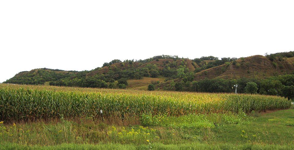 124 mi Park & preserveLoess Hills
 216 mi Zoo & aquariumOmaha’s Henry Doorly Zoo and Aquarium
 57 mi Stadium & arenaMemorial Stadium
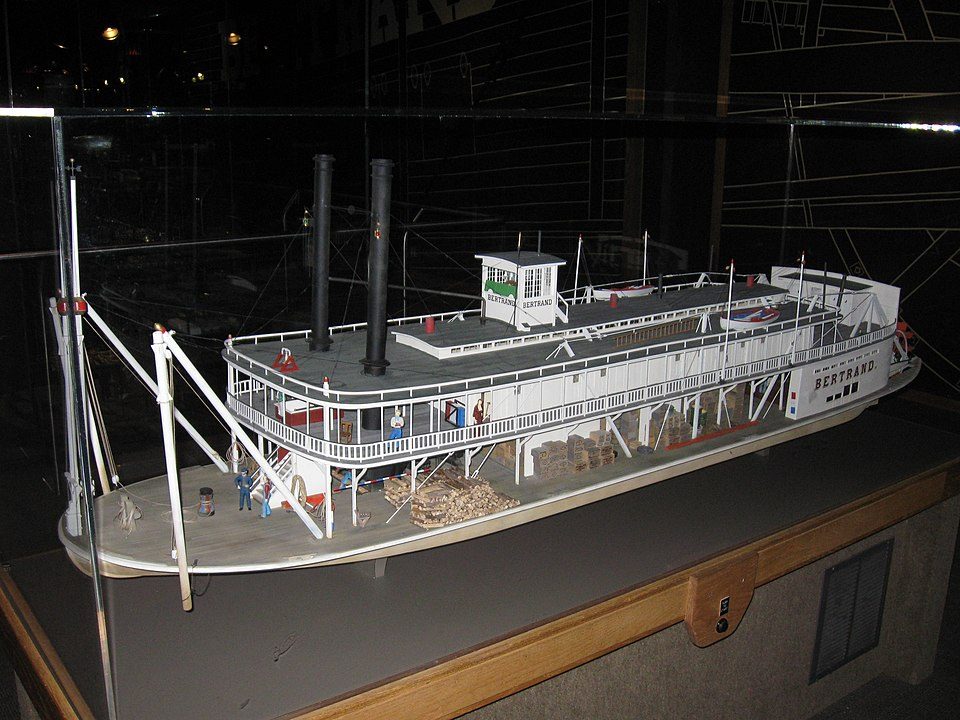 35 mi Ancient siteBertrand
 414 mi MuseumJoslyn Art Museum
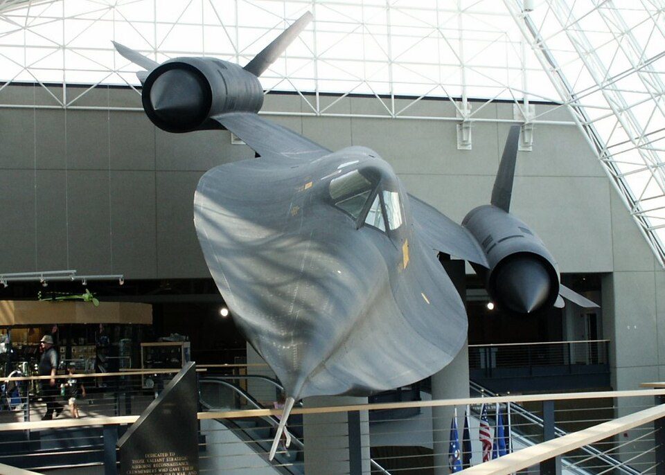 34 mi MuseumStrategic Air and Space Museum
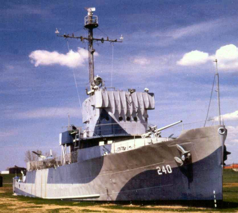 513 mi MuseumUSS Hazard
 615 mi MuseumPottawattamie County Jail
Photo credits
Loess Hills: Bill Whittaker, CC BY-SA 3.0 · Omaha’s Henry Doorly Zoo and Aquarium: OmahaZoo, Public domain · Memorial Stadium: Bobak Ha'Eri, CC BY 3.0 · Bertrand: Billwhittaker at English Wikipedia, CC BY-SA 3.0 · Joslyn Art Museum: akasped, CC BY 2.0 · Strategic Air and Space Museum: User Kandykornhead on en.wikipedia, Public domain · USS Hazard: Dave Aldworth / Oldfarm at English Wikipedia, Public domain · Pottawattamie County Jail: Smallbones, CC0


Questions people have about Fort Atkinson
Is Fort Atkinson in Township 1?
Yes. It’s inside Township 1, NE.
When is the best time to visit Fort Atkinson?
May, June, August, September and October, with highs of 65–84°.
How far is Fort Atkinson from Lincoln?
About 56 miles southwest of Lincoln, as the crow flies.
What is the closest airport to Fort Atkinson?
Eppley Airfield (OMA), about 12 miles away.
Where should I stay near Fort Atkinson?
Omaha (13 mi, 104 places to stay), Council Bluffs (17 mi, 33 places to stay) and Missouri Valley (9 mi, 7 places to stay).
Questions for Township 1
Nobody has posted a tip yet; ask or answer in Township 1’s Town Square.
Sources: National Park Service · ski areas © OpenSkiMap / OpenStreetMap contributors · Wikidata · Wikipedia readership · NOAA climate normals · U.S. Census.