Balmorhea State Park
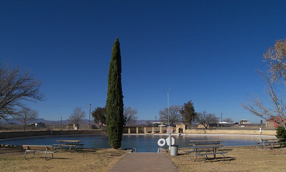
Balmorhea State Park is a 46-acre (19 ha) state park located on the San Solomon Springs in Reeves County, Texas, opened in 1968.

A state park, 4 mi southwest of Balmorhea
Plan where you’ll sleep
The nearest town with many places to stay is Fort Davis, 26 miles south. Where to stay ↓
No airline airport nearby
The closest airport with airline service is Cavern City Air Terminal (CNM), 100 miles away.
Summers are hot
June, July and August highs run 95–96°, and about 118 days a year reach 90°. When to go ↓
Best months: Mar, Apr and Oct
March, April and October are the mild months, with highs of 75–83°. When to go ↓
Written from NOAA 1991–2020 normals, Overture places to stay, Census town figures and Wikipedia.
Weather, month by month
Typical highs and lows in Balmorhea. Green months are the mild ones.
Balmorhea State Park
Balmorhea State Park is a 46-acre (19 ha) state park located on the San Solomon Springs in Reeves County, Texas, opened in 1968. The closest city is Balmorhea, Texas. Texas Parks and Wildlife Department manages the park. The park is best known for its large spring-fed swimming pool. The park is open year-round, and visitation is capped at 900 people per day.
- Type
- State park
- Wikipedia readers
- 6.2K a year
Where to stay near Balmorhea State Park
The closest towns with hotels, motels or campgrounds are Balmorhea (3) and Fort Davis (16), and Town of Pecos has the most rooms in the area (45).
- 1Fort Davis
- 2Chihuahuan Desert Nature Center and Botanical Gardens
- 3Chihuahuan Desert Research Institute
Town of Pecos
The most places to stay in the area, and a base for a longer trip.
10,386 people
34 mi northeast of Balmorhea
Compare 4 towns
| Town | From Balmorhea | Drive | Places to stay | People | Typical home |
|---|---|---|---|---|---|
| Balmorhea | 4 mi northeast | 5 min | 3 1 hotel · 1 lodge or cabins · 1 RV park | 399 | $54K |
| Fort Davis | 26 mi south | 40 min | 16 5 hotels · 3 inns & B&Bs · 2 lodges & cabins · 3 campgrounds · 3 RV parks | 879 | $256K |
| Lindsay | 33 mi northeast | 50 min | 2 2 RV parks | 434 | $136K |
| Town of Pecos | 34 mi northeast | 50 min | 45 29 hotels · 3 motels · 4 lodges & cabins · 1 campground · 8 RV parks | 10,386 | $117K |
Getting there
Nearest airports with airline service
Also near Balmorhea
Other well-known places within 47 miles. Numbered ones are on the map above.
 126 mi National Historic SiteFort Davis National Historic Site36K visitors a year
 47 mi MuseumChinati Foundation
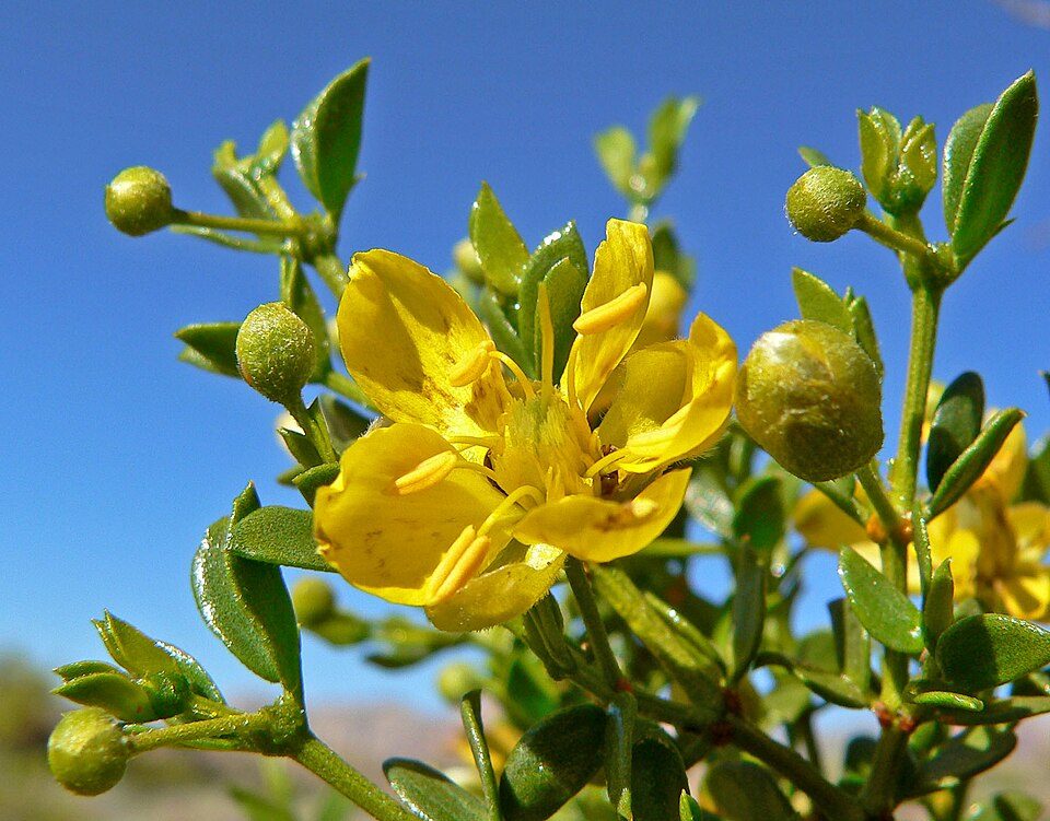 228 mi GardenChihuahuan Desert Nature Center and Botanical Gardens
 46 mi National Historic SiteBlackwell School National Historic Site41 mi MuseumMuseum of the Big Bend327 mi GardenChihuahuan Desert Research Institute
Photo credits
Fort Davis National Historic Site: National Park Service Digital Image Archives, Public domain · Chinati Foundation: Jgc3, CC BY-SA 3.0 · Chihuahuan Desert Nature Center and Botanical Gardens: Stan Shebs, CC BY-SA 3.0 · Blackwell School National Historic Site: David Larson, Public domain


Visiting Balmorhea
What town is Balmorhea State Park near?
Balmorhea, TX, about 4 miles northeast.
When is the best time to visit Balmorhea State Park?
March, April and October, with highs of 75–83°.
What is the closest airport to Balmorhea State Park?
Cavern City Air Terminal (CNM), about 100 miles away. The nearest big hub is El Paso (ELP), about 164 miles.
Where should I stay near Balmorhea State Park?
Balmorhea (4 mi, 3 places to stay), Town of Pecos (34 mi, 45 places to stay) and Fort Davis (26 mi, 16 places to stay).
Tips from people in Balmorhea
No tips yet. Ask, or answer, in Balmorhea’s Town Square.
Sources: National Park Service · ski areas © OpenSkiMap / OpenStreetMap contributors · Wikidata · Wikipedia readership · NOAA climate normals · U.S. Census.